Mountain Biking · Rifle, CO
Upper Sidewinder
Before you go
Live · nearest station Glenwood Springs, 24 miGood window today.
Mostly Cloudy
Feels like 55°
Storm chance
6% overnight
Wind
5 mph ENE
Distance
0.3mi round trip
Elevation gain
—
High point
5,725ft
Season
Apr - Octpeak now
About
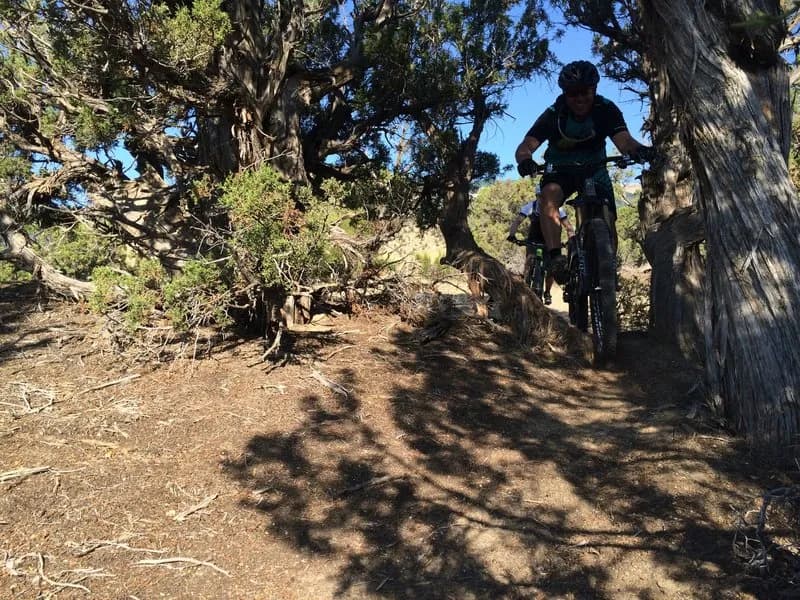
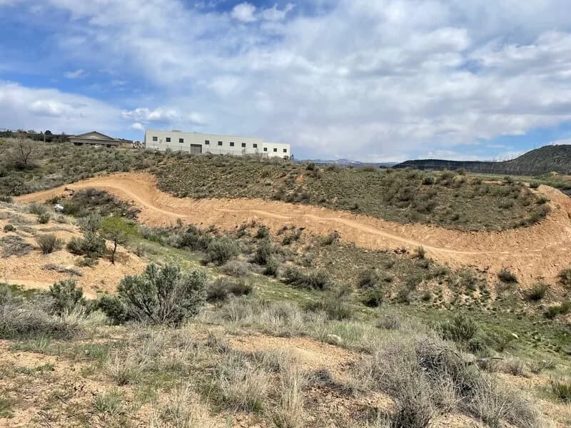
Upper Sidewinder is a short, moderate singletrack mountain bike trail in the Rifle area, specifically within the Hubbard Mesa Open Area. The trail is approximately 0.3 miles long with an elevation gain of roughly 1,567 feet, making it a steep climb. It is rated as a blue (moderate) difficulty trail and is accessible year-round, though April through October is typical for riding. The trail is located near Paul's Trail and can be ridden in both directions. To access the trail, park in the BLM lot and head southwest down the gravel road for about a quarter mile. Look for a moto play area to the south and climb the gas pipeline road that heads up the hill, veering slightly southwest. The trail begins after passing through a dispersed campsite. The route flows along above Upper Sidewinder and descends back towards Paul's Trail. Riders encounter fast corners, juniper trees, and a notable punchy climb with loose dirt. Parking is available at the trailhead, and pets are allowed.
Trail profile
Gain
—
Avg grade
—
Steepest
—
High point
5,725 ft
Good to know
Parking at the trailhead
Dogs allowed on leash
Waypoints
Latest trail reportgood
Trail is in good condition. Traction is good with minimal obstacles.
Reported Mar 2, 2025Verified
What people say
Reviews
No reviews yet
Been here? Help the next person out.
Within 30 miles