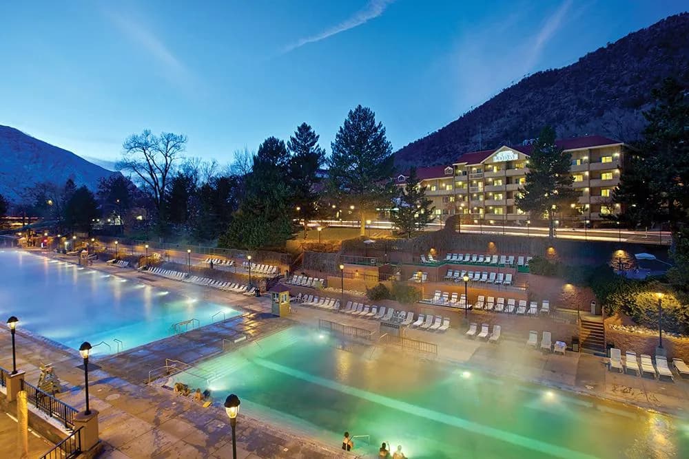
Hiking · Glenwood Springs, CO
Visit Glenwood Springs
Before you go
Live · nearest station Glenwood Springs, 0 miGood window today. Daylight to 7:04 pm.
Cloudy
Feels like 62°
Storm chance
13% tonight
Wind
5 mph WNW
UV index
0 low
Sun window
6:58 am to 7:04 pm
Roaring Fork at Glenwood Springs is running 434 cfs, water 60°.
Distance
—
Elevation gain
—
High point
5,776ft
Season
Jan - Dec
About
Glenwood Springs serves as a gateway to diverse hiking in the Roaring Fork Valley, situated at 5,776 feet where the Colorado and Gypsum rivers converge. The area offers trails ranging from paved pathways and riverside strolls to steep single-track mountain treks, catering to all skill levels. While the database cites moderate difficulty and a typical two-hour duration for general routes, the region features everything from easy city walks to challenging long-distance hikes. Hikers can expect varied terrain, including uneven ground and potential stream crossings. The location is pet-friendly, and parking is available at various trailheads. Access is year-round, though winter conditions require preparation; the canyon is typically free of snow by May, while higher elevations like the Flattops may retain snow into mid-June. Recent geological events, including the 2020 Grizzly Creek wildfire and 2021 landslides, have altered some trails, with popular routes like Hanging Lake experiencing temporary closures. Always verify current conditions before heading out.
Trail profile
Gain
—
Avg grade
—
Steepest
—
High point
5,776 ft
Good to know
Parking at the trailhead
Dogs allowed on leash
Waypoints
No waypoints mapped for this trail yet.
What people say
Reviews
No reviews yet
Been here? Help the next person out.
Within 30 miles
Nearby spots
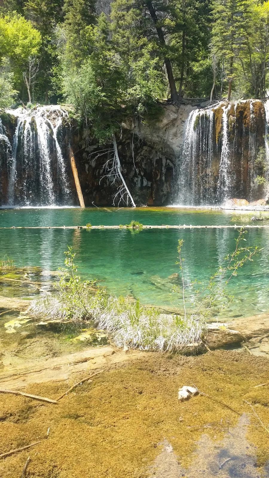
White River National Forest Supervisor's Office
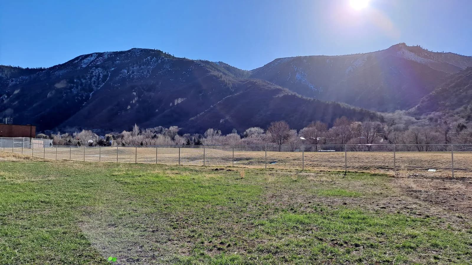
Vogelaar Park