Hiking · Gunnison, CO
Walrod Gulch Road
Before you go
Live · nearest station Gunnison, 1 miStorms build later today. Plan an early finish.
Thunderstorms
Feels like 55°
Storm chance
57% tonight
Wind
5 mph ENE
Distance
1.7mi round trip
Elevation gain
10ft
High point
7,805ft
Season
Jan - Dec
About
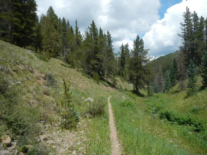
Walrod Gulch Road is a hiking trail in Gunnison National Forest near Crested Butte, Colorado. The trail begins at the end of Forest Service Road 740.2C and follows a flat singletrack to Walrod Gulch Road. It is located on the southern-facing slope of the Cement Creek Valley. The route is known for early-season wildflowers. The trail allows hiking, biking, horseback riding, and motorcycle use. Dogs are permitted on the path. Parking is available near the trailhead. The elevation ranges from 9,739 to 10,281 feet with a total elevation gain of approximately 542 feet. The trail length is listed as one mile on official state records, though some sources describe a longer 12.9 km loop or out-and-back route involving Middle Cement Creek. The difficulty is generally considered easy to medium depending on the specific route taken. Trail number 412 identifies this section within the Gunnison Ranger District.
Trail profile
Gain
10 ft
Avg grade
0%
Steepest
0%
High point
7,805 ft
Good to know
Parking at the trailhead
Waypoints
Latest trail reportgood
Trail is in good condition. No significant obstacles or hazards reported.
Reported Mar 2, 2025Verified
What people say
Reviews
No reviews yet
Been here? Help the next person out.
Within 30 miles