Hiking · Fruita, CO
Western Mesa Trail
Before you go
Live · nearest station Grand Junction, 10 miGood window today.
Chance of Rain
Feels like 62°
Storm chance
23% overnight
Wind
5 mph E
Distance
6.03mi round trip
Elevation gain
75ft
High point
4,570ft
Season
Jan - Dec
About
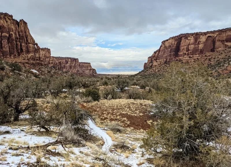
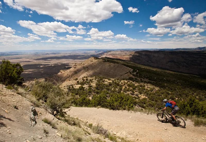
The Western Mesa Trail is a 6.03-mile hiking route located on the eastern edge of the rim above Rabbit Valley, just west of the Colorado-Utah border. Classified as difficult, the trail gains 1,513 feet in elevation and typically takes about four hours to complete. The route follows the rim, offering views of the surrounding area, before descending back to a doubletrack road. Access requires driving to the Westwater exit (#227) on Interstate 70. From there, proceed west on Harley Dome Road (BLM 192) for 1/4 mile and turn left onto a doubletrack. Follow this road for approximately 1.25 miles to the intersection with the Kokopelli Trail or the Overlook Trail. Parking is available at these junctions, with the Overlook Trail beginning about 800 feet past the Kokopelli intersection. Hikers can combine Western Mesa with the Arch Loop and Overlook trails to form a lollipop loop. The trailhead area is accessible to low-clearance vehicles.
Trail profile
Gain
75 ft
Avg grade
0%
Steepest
0%
High point
4,570 ft
Good to know
Parking at the trailhead
Waypoints
Latest trail reportgood
Trail is in good condition. No significant obstacles or hazards reported.
Reported Mar 2, 2025Verified
What people say
Reviews
No reviews yet
Been here? Help the next person out.
Within 30 miles