Mountain Biking · Rifle, CO
Whiskey Tango Express
Before you go
Live · nearest station Glenwood Springs, 24 miGood window today.
Cloudy
Feels like 60°
Storm chance
13% tonight
Wind
5 mph NNE
Distance
1.1mi round trip
Elevation gain
23ft
High point
5,371ft
Season
Apr - Octpeak now
About
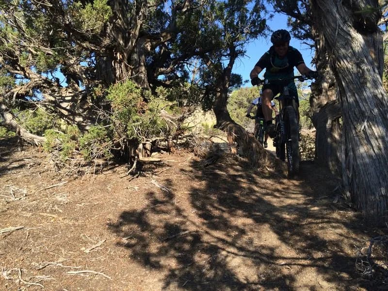
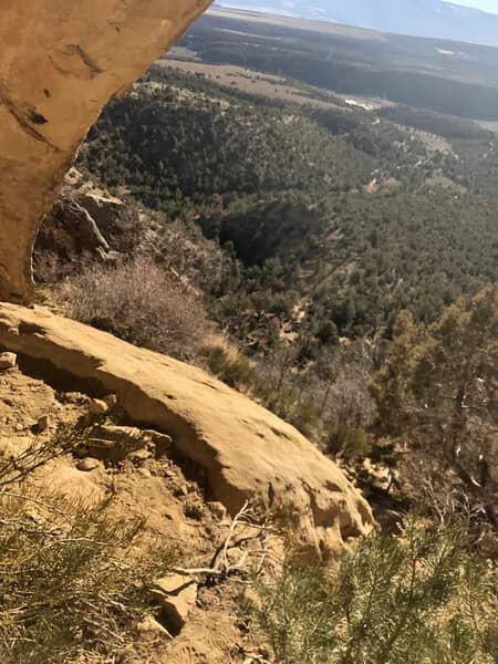
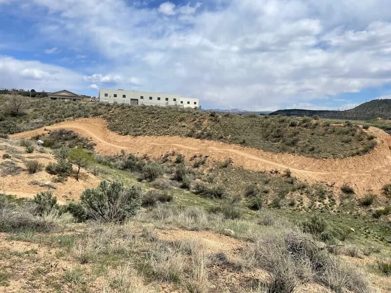
The Whiskey Tango Express is a 1.1-mile primarily downhill mountain biking trail located in Rifle, Colorado. The route runs along the rim of the Roan Plateau, paralleling the JQS Trail. Riders access the trail via a jeep road that leads to a dispersed campsite at the top of the climb. The trailhead sits near a three-way intersection involving Balanced Rock Trail and Faceplant, marked by a gas pipeline sign. The elevation is 6,383 feet, and the trail is generally open from April through October. The ride is classified as moderate difficulty with blue markings on Trailforks. It takes approximately four to six minutes to complete, though some sources note a typical duration of zero hours for shuttle rides. The trail offers views of Garfield County, North Mamm Peak, and Mount Sopris. The surface is hard-packed singletrack with expansive soil that can cause washouts if the front wheel leaves the track. There are two notable hazards: a washed-out section across the rim that requires speed to cross, and loose soil prone to dabs. The trail is pet-friendly and allows parking near the start. It is shuttle-able, making it suitable for point-to-point rides or tight loops using the jeep road descent.
Trail profile
Gain
23 ft
Avg grade
0%
Steepest
0%
High point
5,371 ft
Good to know
Parking at the trailhead
Dogs allowed on leash
Waypoints
Latest trail reportgood
Trail is in good condition. Traction is good with minimal obstacles.
Reported Mar 2, 2025Verified
What people say
Reviews
No reviews yet
Been here? Help the next person out.
Within 30 miles