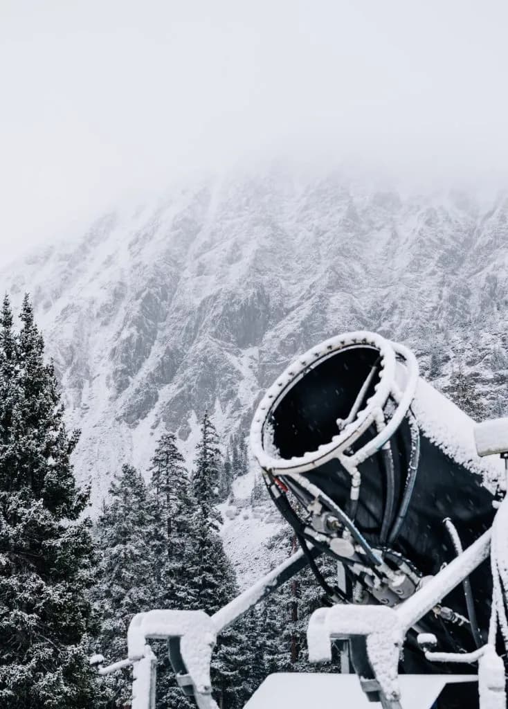
Colorado Mountains Receive First Real Snow of Season
Northern Colorado mountains recorded 1 to 3 inches of snow Tuesday, with forecasts predicting 6 to 12 inches more by Thursday as temperatures drop sharply.
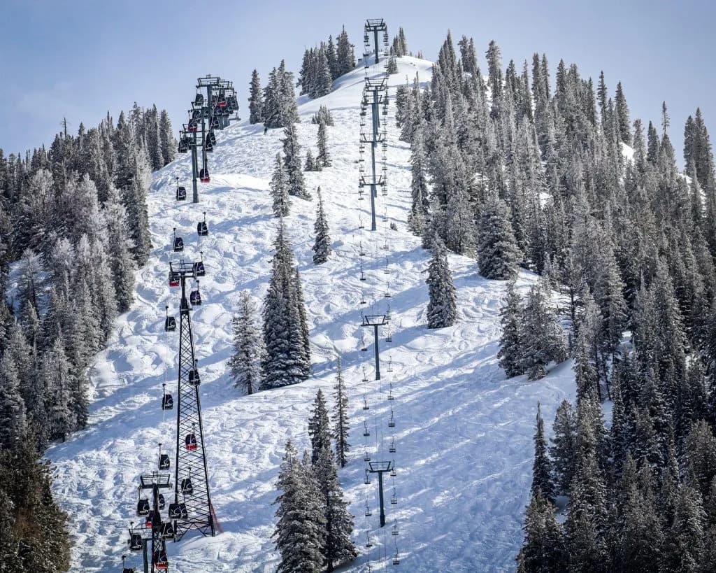
Glenwood Springs —The wind cuts across the I-70 corridor, carrying the bite of a temperature drop that has turned Tuesday’s rain into something sharper. On the peaks north of the interstate, the sky is gray and heavy. The transition is happening now. Rain is becoming snow.
Make no mistake: this is the first real snow of the season. It’s not the flurries we’ve seen in September. This is accumulation.
As of Wednesday morning, Oct. 14, weather stations in the northwestern region recorded 1 to 3 inches of snow. That number came from an OpenSnow report. The storm system is still moving. It tracks through Colorado from Wednesday night into Thursday morning.
The forecast gets heavier from here. Northern and central mountains face cooler air. High-elevation areas near and north of Interstate 70 expect 6 to 12 inches of fresh powder. That’s a significant total. It changes the landscape.
Western Slope towns see highs in the low to mid-50s. It’s cold. Travelers on mountain passes should brace for slush and ice. The worst conditions hit on Wednesday. Read that again. If you’re driving over a pass today, slow down. The road surface is treacherous.
The National Weather Service issued an advisory Tuesday morning. It flags specific risks. Towns like Aspen, Snowmass Village, and Vail could see 4 to 8 inches of snow by Thursday. Wind gusts reach 35 miles per hour. Those winds chop up the snow. They make visibility poor.
Gillian Felton, a meteorologist with the National Weather Service, offered a sobering take. She warned that the snow might struggle to stick. Sunny skies return over the weekend. That sun melts the fresh layer.
“I imagine we will see some snow melt on what is falling right now,” Felton said.
Her words carry weight. High-elevation peaks near freezing temperatures might hold onto the snow. Lower elevations? Not so much. The sun wins.
Thursday delivers the final snow of the week. Friday brings dry, sunny weather. That pattern holds through Sunday. Mountain towns anticipate highs near 60 degrees from Friday through Tuesday. The warmth returns fast.
The Climate Prediction Center released new temperature outlooks on Oct. 13. They paint a complex picture. The eastern half of Colorado expects above-normal temperatures during Oct. 21-27. The Western Slope differs. It faces near-normal to below-normal temperatures. Precipitation runs slightly above average.
Ski resorts watch these numbers closely. A-Basin, Keystone, and Loveland usually start snowmaking in late October. None have announced official opening dates yet. Most target a late-October window. Weather dictates the timeline.
Other resorts have locked in dates. Aspen Mountain, Breckenridge, Steamboat, Vail, and Copper Mountain confirm November openings. They wait for consistent snowpack.
The next chance for meaningful snow arrives Wednesday, Oct. 21. It lasts through the weekend. Southern mountains expect the highest totals. Northern and central regions follow.
This storm sets the stage. It tests the infrastructure. It checks the readiness of the community. The snow falls. The temperature drops. The season begins.
Will the snow stick through the weekend sun? Or will it melt away before the resorts even turn on their guns? The peaks know. The valleys wait.
Keep up with Glenwood Springs
The day's Western Slope news, one email each morning. Free.


Northwest Colorado Report Reveals Fractured Behavioral Health System

Roaring Fork Rams Defeat Coal Ridge Titans in Rainy Match