Super El Niño Signals Early Snow Season for Colorado Ski Resorts
Strengthening El Niño conditions promise above-normal precipitation and an earlier snowpack start for Colorado ski areas, offering relief after a difficult previous winter.
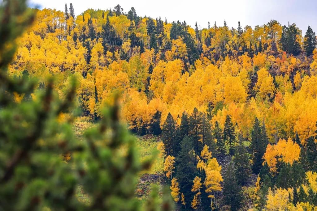
Glenwood Springs —The high-pressure ridge that has pinned the Western Slope under a blanket of unyielding sun is finally showing cracks, and the forecasters are watching those cracks with intense interest. According to the Post Independent, the region is currently experiencing scattered afternoon showers and thunderstorms that stretch from Tuesday through the weekend, a pattern that breaks the monotony of the dry heat that has defined the summer. The temperatures are still running hot, with readings climbing into the mid-90s in Rifle while Vail settles for the high-70s, but the presence of moisture in the air signals a shift in the atmospheric machinery.
OpenSnow Meteorologist Alan Smith noted that while the precipitation itself is typical for the late summer months, the persistence of the warmth is the anomaly. He observed that the gradual cooling usually expected by the end of August has stalled, leaving the valley and the foothills in a state of thermal stagnation. This lingering heat is not just a nuisance for those commuting between Aspen and Glenwood Springs; it is a variable that complicates the transition into the autumn season. As the calendar turns toward September, the question is not whether it will cool down, but how quickly the system will reset.
The bigger story, however, lies in the ocean. Strengthening El Niño conditions are set to become a dominant force in Colorado’s weather patterns this year, with forecasts pointing toward a “super” El Niño by the end of 2026. For the High Country, this global phenomenon translates into a very local reality: above-normal precipitation is expected from September through November. Smith explained that El Niño years often bring strong precipitation early in the winter, followed by drier conditions in the middle of the season. This pattern suggests that the monsoon season may linger longer than average, with persistent moisture signals extending deep into September.
While October is expected to transition into a more neutral precipitation regime, November holds the key for the ski industry. An active southerly storm track is anticipated to emerge, potentially driving heavier snowfall earlier in the year. Smith indicated that the strong El Niño signal points to an earlier start to the snowpack season, a development that would be a significant relief after the challenges of the previous winter. The combination of an active monsoon and a potent El Niño creates a scenario where the mountains could receive a substantial water equivalent before the holiday rush begins.
As the first cool breezes start to ripple through the valleys, the anticipation for the first real flake of snow hangs in the air, promising a season that may begin sooner than most expected.
Keep up with Glenwood Springs
The day's Western Slope news, one email each morning. Free.




Roaring Fork Schools Ask Voters For Tax Hike To Pay Teachers

ZGEO Pairs Geothermal Power With Housing And Industry In Montrose County