Hiking · Fruita, CO
Arch Loop
Before you go
Live · nearest station Grand Junction, 12 miGood window today.
Mostly Cloudy
Feels like 69°
Storm chance
5% tonight
Wind
5 mph SE
Distance
2.7mi round trip
Elevation gain
290ft
High point
4,934ft
Season
Jan - Dec
About
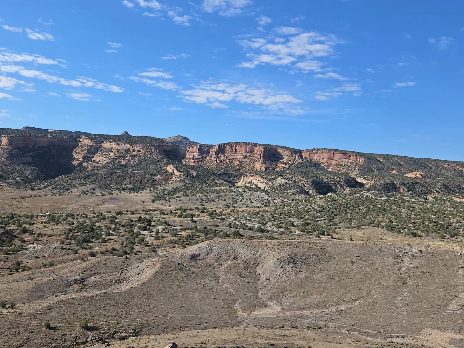
The Arch Loop is a 2.7-mile hiking trail located near Westwater, Colorado, on the Western Slope. The trail is classified as moderate and sits at an elevation of 4,934 feet. It is a loop route that typically takes about 2 hours to complete. The defining feature of the trail is a small natural bridge near the end of the loop, which gives the trail its name. The route winds through drainages and bare, greyish shale areas. Access requires driving to the Westwater exit on Interstate 70 (Exit 227). From there, travel west on Harley Dome Road (BLM 192) for 1/4 mile and turn left onto a doubletrack. Follow the road for 1 mile to a fork where you go right; the road intersects the Kokopelli Trail after another 1/2 mile. Parking is available at this junction or further along the Kokopelli Trail. The Arch Loop connects to the Overlook and Western Mesa trails, allowing for extended loop combinations. The trail is accessible year-round.
Trail profile
Gain
290 ft
Avg grade
2%
Steepest
3%
High point
4,934 ft
Good to know
Parking at the trailhead
Waypoints
Latest trail reportgood
Trail is in good condition. No significant obstacles or hazards reported.
Reported Mar 2, 2025Verified
What people say
Reviews
No reviews yet
Been here? Help the next person out.
Within 30 miles