Fall Hiking · Ouray, CO
Bear Creek Trailhead
Before you go
Live · nearest station Telluride, 9 miStorms build later today. Plan an early finish.
Chance of Rain
Feels like 45°
Storm chance
50% tonight
Wind
5 mph ESE
Distance
—
Elevation gain
—
High point
8,484ft
Season
Sep - Novin season
About
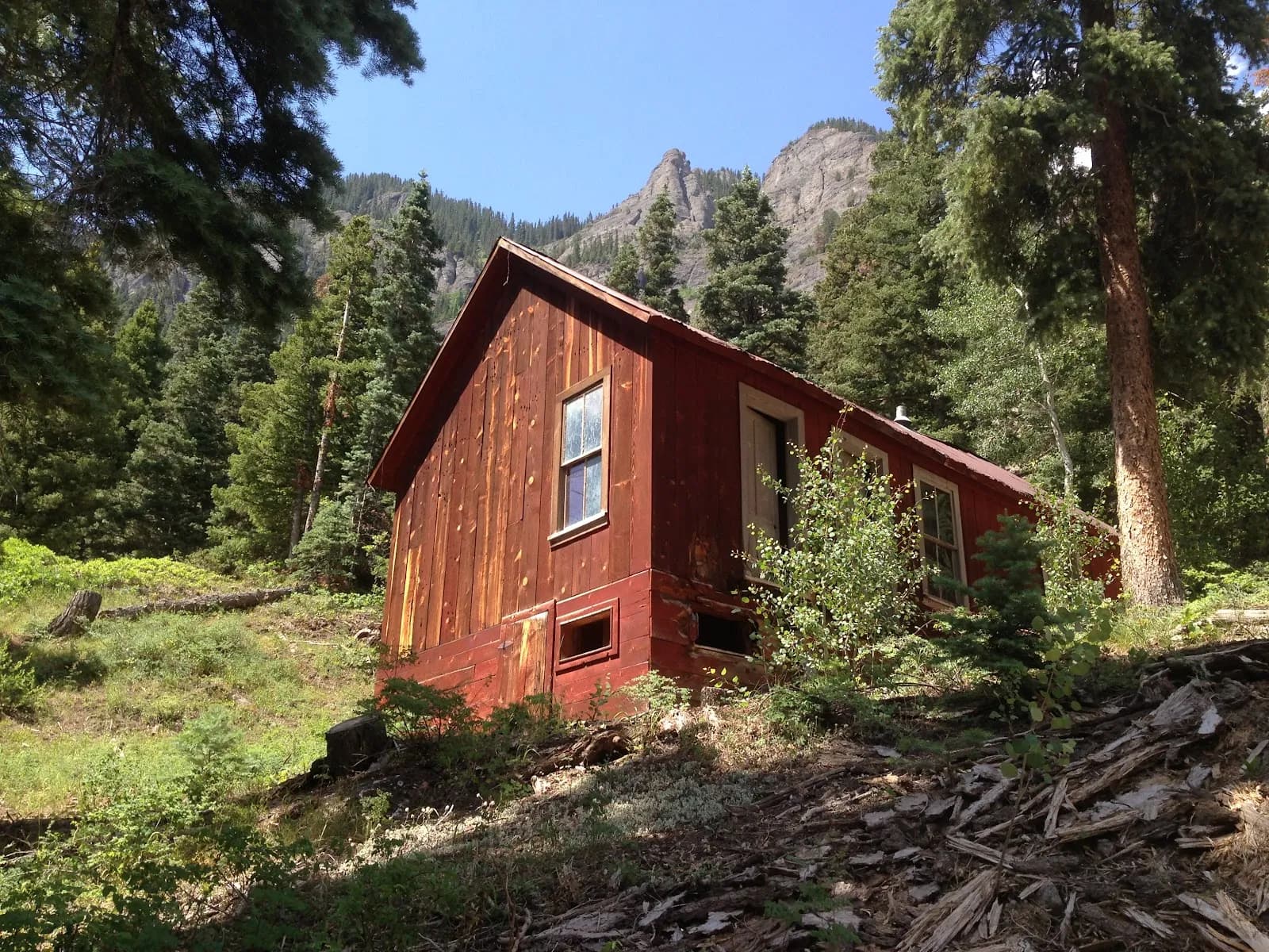
The Bear Creek Trailhead in Ouray, Colorado, offers a moderate hiking route accessible year-round but particularly suited for fall visits from September through November. Located off Highway 550, the trailhead provides parking and access to Bear Creek Falls, a 150-foot cascade. The route follows the Bear Creek National Recreation Trail (Trail #6241), a well-marked Forest Service path. The initial segment to the falls covers approximately 2.4 miles as an out-and-back hike with about 350 feet of elevation gain, though other sources note a steeper first 1-2 miles with up to 1000 vertical feet if continuing toward Alberta Falls. The trail winds through the Uncompahgre National Forest, passing aspen and pine groves, wildflower meadows, and abandoned mining structures like the Grizzly Bear Mine. Hikers can view Mt. Sneffels and Uncompahgre Gorge from the narrow ledges. The trail is pet-friendly, and restrooms are available at the main parking area near the falls overlook. Fall conditions typically feature dry trail surfaces with potential for snow at higher elevations, and the changing foliage of aspen trees adds visual interest. The hike generally takes about two hours for the shorter route to the falls, extending to 4-5 hours if reaching Yellow Jacket Mine.
Trail profile
Gain
—
Avg grade
—
Steepest
—
High point
8,484 ft
Good to know
Parking at the trailhead
Restrooms available
Dogs allowed on leash
Waypoints
No waypoints mapped for this trail yet.
What people say
Reviews
No reviews yet
Been here? Help the next person out.
Within 30 miles