Hiking · Grand Junction, CO
Bench Route
Before you go
Live · nearest station Grand Junction, 0 miGood window today.
Mostly Cloudy
Feels like 60°
Storm chance
2% tonight
Wind
0 mph
Gunnison River near Grand Junction is running 1,180 cfs and falling, water 63°.
Distance
4.9mi round trip
Elevation gain
607ft
High point
5,177ft
Season
Jan - Dec
About
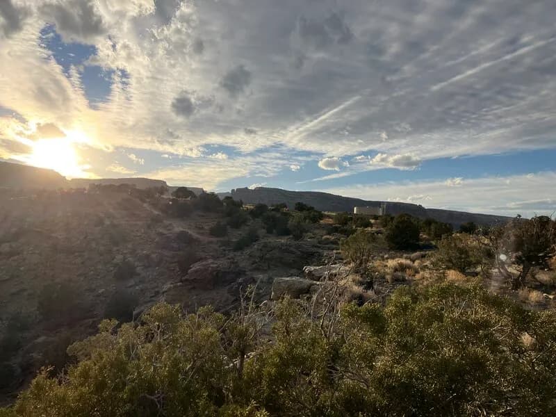
The Bench Route is a hiking trail in Grand Junction, Colorado, located within the Colorado National Monument. The trail follows a geological bench formed by eroded softer sandstone layers above harder Precambrian granite. It serves as a connector, beginning off the Liberty Cap trail and extending toward Gold Star. The route is approximately 4.9 miles long with an elevation gain of roughly 1,000 feet, reaching a summit elevation of 5,538 feet. It is rated as difficult or hard, requiring moderate to high physical fitness. The trail is accessible year-round, though conditions vary, and parking is available at the trailhead. Hikers can complete the route as a point-to-point hike or combine it with other trails, such as the Corkscrew Loop, for longer excursions.
Trail profile
Gain
607 ft
Avg grade
2%
Steepest
7%
High point
5,177 ft
Good to know
Parking at the trailhead
Waypoints
Latest trail reportgood
Trail is in good condition. No significant obstacles or hazards reported.
Reported Mar 2, 2025Verified
What people say
Reviews
No reviews yet
Been here? Help the next person out.
Within 30 miles
Nearby spots