Mountain Biking · Grand Junction, CO
Bentonite Hill
Before you go
Live · nearest station Grand Junction, 0 miGood window today.
Mostly Cloudy
Feels like 62°
Storm chance
2% tonight
Wind
0 mph
Gunnison River near Grand Junction is running 1,170 cfs and falling, water 64°.
Distance
0.1mi round trip
Elevation gain
—
High point
4,853ft
Season
Apr - Octpeak now
About
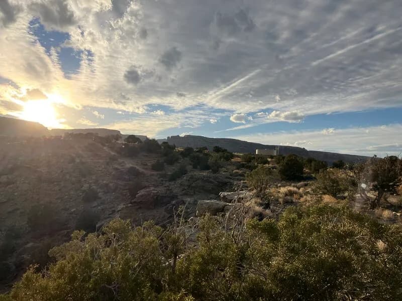
Bentonite Hill is a short, difficult mountain biking trail in Grand Junction, Colorado. The route spans 0.1 miles and sits at an elevation of 4,853 feet. It functions primarily as a fast, flowing descent from the rim down to the Tabeguache Trail. The trail is exposed and skirts the side of a mineral-heavy hill. Riders can access it via Curt's Lane or connect it to Moto Trail. The surface is dirt and rated as double black diamond by some mapping services, though listed generally as difficult. The trail is open from April through October. Parking is available near the trailhead, and pets are allowed.
Trail profile
Gain
—
Avg grade
—
Steepest
—
High point
4,853 ft
Good to know
Parking at the trailhead
Dogs allowed on leash
Waypoints
Latest trail reportgood
Trail is in good condition. Traction is good with minimal obstacles.
Reported Mar 2, 2025Verified
What people say
Reviews
No reviews yet
Been here? Help the next person out.
Within 30 miles
Nearby spots