Hiking · Telluride, CO
Black Bear Road
Before you go
Live · nearest station Telluride, 3 miStorms build later today. Plan an early finish.
Thunderstorms
Feels like 54°
Trailhead temp
48° est. at 10,375 ft
Storm chance
58% tonight
Wind
5 mph NE
Distance
7.6mi round trip
Elevation gain
3,035ft
High point
11,959ft
Season
Jan - Dec
About
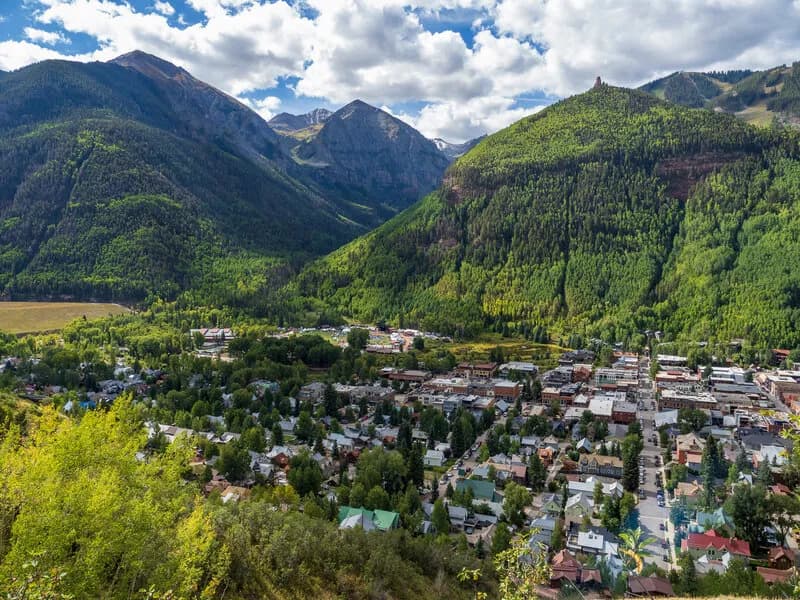
Black Bear Road is a notorious jeep trail connecting Red Mountain Pass to Telluride, widely recognized as one of Colorado’s more difficult mountain passes. The route reaches an elevation of 12,840 feet at Black Bear Pass. While primarily used by experienced 4WD drivers, hikers often traverse the upper section as a day climb. The trail is approximately 7.6 miles long with an estimated duration of five hours. Access begins at State Highway 550 near Red Mountain Pass. Parking is available at the pass summit and along the road up to Bridal Veil Falls. The descent into Telluride involves steep, technical switchbacks known as the 'Steps' and features extreme exposure. Key landmarks include Ingram Basin, Ingram Lake, the Black Bear Mine, and Bridal Veil Falls. The road is one-way only when descending toward the Bridal Veil Powerplant. High-clearance, short-wheel-base 4x4 vehicles are strongly recommended for the steep sections. The trail is accessible year-round, though conditions vary by season.
Trail profile
Gain
3,035 ft
Avg grade
8%
Steepest
23%
High point
11,959 ft
Good to know
Parking at the trailhead
Waypoints
Latest trail reportgood
Trail is in good condition. No significant obstacles or hazards reported.
Reported Mar 2, 2025Verified
What people say
Reviews
No reviews yet
Been here? Help the next person out.
Within 30 miles