Rock Climbing · Palisade, CO
Blondie
Before you go
Live · nearest station Grand Junction, 13 miGood window today.
Mostly Cloudy
Feels like 59°
Trailhead temp
55° est. at 5,597 ft
Storm chance
2% overnight
Wind
0 mph
Gunnison River near Grand Junction is running 1,220 cfs, water 63°.
Distance
—
Elevation gain
328ft
High point
5,925ft
Season
Jan - Dec
About
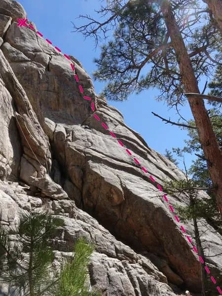
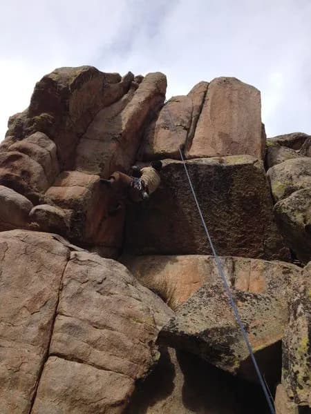
Blondie is a rock climbing destination located near Palisade, Colorado, on the Western Slope. The site sits at an elevation of 5,597 feet and offers moderate difficulty routes suitable for climbers with some experience. The typical visit duration is approximately five hours, and parking is available on site. Climbers are permitted to bring pets. The primary route at Blondie is a 200-foot (61-meter) traditional climb consisting of two pitches. The first pitch begins at the dirty corner on the right side of the crag, climbing forty feet up to a visible prow which serves as the 5.6 crux. The second pitch involves traversing left from the ledge to a right-leaning hand crack that extends 150 feet upward. This section includes a 5.9 crux twenty feet up, followed by casual cracks with jugs and chicken beaks leading into a moderate off-width. The climb finishes on a ledge below an extremely flakey off-width, allowing for a walk-off or a traverse left along a finger crack to bolts rated 5.10. Standard protection gear, including multiple #2-#4 nuts, is sufficient for the route. First ascent was completed by C. Winn and T Etzkorn. The area is generally accessible year-round, with operations spanning from January to December. Recent updates indicate that access issues related to the Cameron Peak Fire, specifically regarding dead trees on Storm Mountain Road, have been resolved as of 2023. The route is situated in the Big Thompson River Canyon area, near Estes Park Valley.
Trail profile
Gain
328 ft
Avg grade
—
Steepest
—
High point
5,925 ft
Good to know
Parking at the trailhead
Dogs allowed on leash
Waypoints
Latest trail reportgood
Spring climbing conditions. Route may be wet after rainfall. Check weather forecast before climbing.
Reported Mar 3, 2025Verified
What people say
Reviews
No reviews yet
Been here? Help the next person out.
Within 30 miles