Hiking · Durango, CO
Brown's Ridge
Before you go
Live · nearest station Durango, 0 miGood window today.
Mostly Sunny
Feels like 65°
Storm chance
14% afternoon
Wind
5 mph S
Animas River at Durango is running 1,200 cfs and falling, water 49°.
Distance
—
Elevation gain
—
High point
6,534ft
Season
Jan - Dec
About
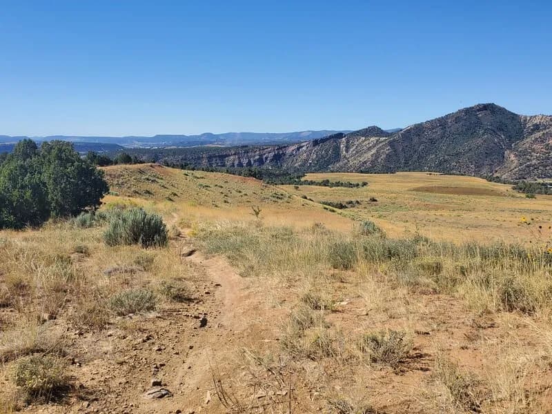
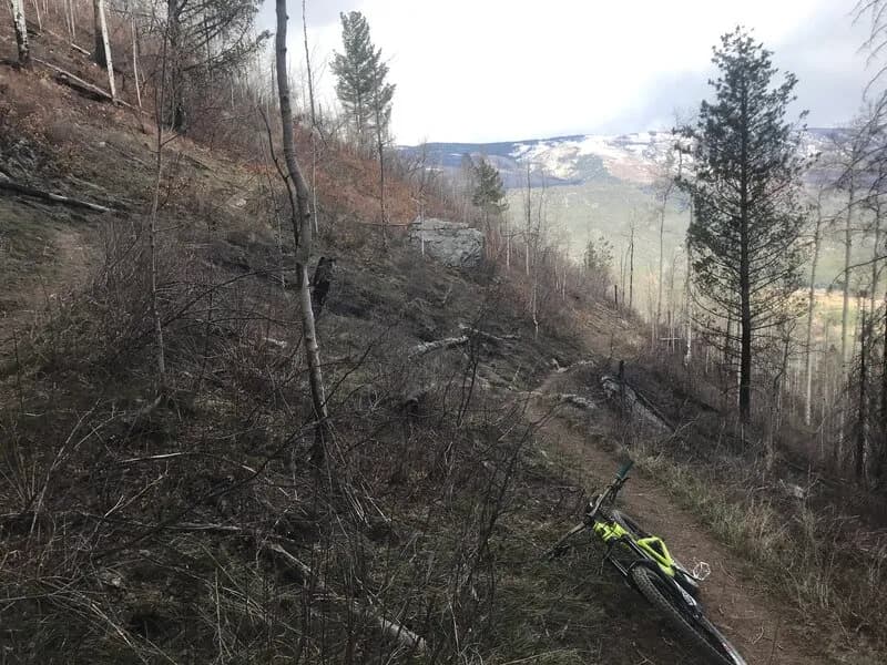
Brown's Ridge Trail is a 0.6-mile hiking and multi-use path located in Overend Mountain Park, Durango, Colorado. The trail offers views of the surrounding landscape and connects to Hogsfoot, Hogsback, 8 Bells, and Falcon trails. It features a recently reconstructed jump line and is generally described as flowy with moderate difficulty, though some sources classify it as easy. The surface is dirt or ground, and the elevation ranges from approximately 6,534 to 6,909 feet. Parking is available at multiple access points along Leyden Street, Crestview Street, and Hidden Valley. The trail allows leashed dogs, bikes, and hikers, but prohibits motorcycles, ATVs, OHVs over 50 inches, highway vehicles, and snowmobiles. It is open year-round for hiking, with conditions varying based on weather and snowfall.
Trail profile
Gain
—
Avg grade
—
Steepest
—
High point
6,534 ft
Good to know
Parking at the trailhead
Waypoints
Latest trail reportgood
Spring conditions with some muddy sections. Trail is generally in good shape.
Reported Mar 2, 2025Verified
What people say
Reviews
No reviews yet
Been here? Help the next person out.
Within 30 miles