Hiking · Durango, CO
Castle Rock Trail
Before you go
Live · nearest station Durango, 0 miGood window today.
Partly Sunny
Feels like 64°
Storm chance
7% afternoon
Wind
5 mph W
Animas River at Durango is running 1,330 cfs and falling, water 46°.
Distance
0.7mi round trip
Elevation gain
5ft
High point
6,534ft
Season
Jan - Dec
About
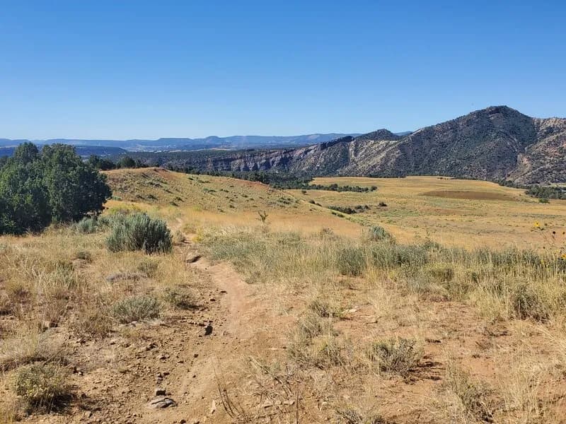
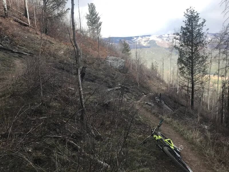
Castle Rock is a prominent geological feature near Durango, Colorado, accessible primarily via the Elbert Creek Trail. The trailhead begins on Elbert Creek Road, leading to the western approach of the summit. The hike is characterized as short but steep, with significant elevation gain reported as over 1,600 feet across distances ranging from 0.7 miles to 2.5 miles depending on the specific route segment and measurement method. The trail is rated difficult to moderately difficult and is suitable for those in reasonable physical condition. The route is unsanctioned and can be hiked in either direction. Visitors should expect cattle grazing near the trail and exposed cliff areas, making it advisable to leash dogs. Parking is available at the trailhead. The area is known for morning light filtering through tree groves along the lower sections of the trail.
Trail profile
Gain
5 ft
Avg grade
0%
Steepest
0%
High point
6,534 ft
Good to know
Parking at the trailhead
Waypoints
Latest trail reportgood
Trail is in good condition. No significant obstacles or hazards reported.
Reported Mar 2, 2025Verified
What people say
Reviews
No reviews yet
Been here? Help the next person out.
Within 30 miles