Hiking · Durango, CO
Cliffrock Loop
Before you go
Live · nearest station Durango, 0 miGood window today. Daylight to 6:28 pm.
Thunderstorms
Feels like 53°
Storm chance
37% tonight
Wind
0 mph
UV index
0 low
Sun window
7:23 am to 6:28 pm
Animas River at Durango is running 1,180 cfs and falling, water 49°.
Distance
2.4mi round trip
Elevation gain
641ft
High point
7,186ft
Season
Jan - Dec
About
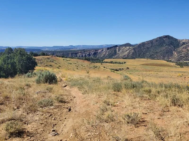
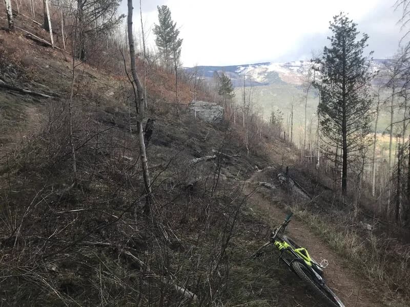
The Cliffrock Loop is a 2.4-mile hiking trail in the Twin Buttes area of Durango, Colorado. The trail sits at an elevation between 7,173 and 7,444 feet with a total elevation gain of approximately 271 feet. It is classified as moderate difficulty and typically takes about one hour to complete. The surface is dirt, featuring smooth flat sections in open meadows and moderate climbing through pinion and juniper trees. The route offers views of Durango to the east and the Twin Buttes themselves. Access is managed by the City of Durango, with official use permitted from April 16 through November 30. The trail allows leashed dogs, hiking, and mountain biking during this period. Parking is available at the trailhead, which connects to the Upper Twin Buttes Trail and an old railroad bed. The area is a multi-use trail system, though motorcycles, ATVs, and snowmobiles are not allowed.
Trail profile
Gain
641 ft
Avg grade
5%
Steepest
5%
High point
7,186 ft
Good to know
Parking at the trailhead
Waypoints
Latest trail reportgood
Trail is in good condition. No significant obstacles or hazards reported.
Reported Mar 2, 2025Verified
What people say
Reviews
No reviews yet
Been here? Help the next person out.
Within 30 miles