Hiking · Grand Junction, CO
Corkscrew Trail
Before you go
Live · nearest station Grand Junction, 0 miGood window today.
Mostly Cloudy
Feels like 58°
Storm chance
2% overnight
Wind
0 mph
Gunnison River near Grand Junction is running 1,240 cfs and rising, water 62°.
Distance
1.37mi round trip
Elevation gain
13ft
High point
4,606ft
Season
Jan - Dec
About
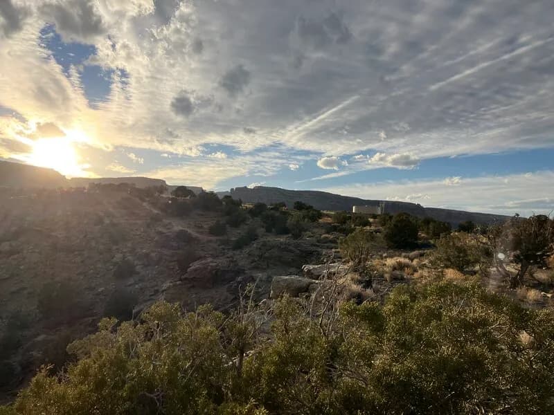
The Corkscrew Trail is a 1.3-mile hiking route located in Grand Junction, Colorado, within the Colorado National Monument. The trail connects to the Liberty Cap Trail and is known for its steep series of switchbacks that ascend from the valley floor to the Precambrian bench area. The name derives directly from these corkscrew-shaped switchbacks, which gain approximately 640 to 700 feet of elevation. The route is rated as difficult or hard, requiring a moderate to high level of physical fitness due to the steep climb. Hikers typically complete the route in about one hour, covering roughly 3,000 steps. The trailhead is situated off Wildwood Drive on the east side of the monument, near Redlands, with parking available at the start. The path follows an historic route originally built by John Otto in 1909, who was the park's first ranger. Hikers can traverse the trail in either direction, though staff suggest hiking up via Liberty Cap and descending via Corkscrew. The trail features views of metamorphic cliffs and sandstone boulders, particularly near the Ute Canyon Trail junction. The trail is open year-round.
Trail profile
Gain
13 ft
Avg grade
0%
Steepest
0%
High point
4,606 ft
Good to know
Parking at the trailhead
Waypoints
Latest trail reportgood
Trail is in good condition. No significant obstacles or hazards reported.
Reported Mar 2, 2025Verified
What people say
Reviews
No reviews yet
Been here? Help the next person out.
Within 30 miles
Nearby spots