Mountain Biking · Grand Junction, CO
Coyote Ridge
Before you go
Live · nearest station Grand Junction, 0 miGood window today. Daylight to 5:05 pm.
Clear
Feels like 36°
Wind
5 mph ESE
UV index
0 low
Sun window
6:49 am to 5:05 pm
Gunnison River near Grand Junction is running 1,700 cfs and falling, water 48°.
Distance
0.5mi round trip
Elevation gain
—
High point
4,954ft
Season
Apr - Oct
About
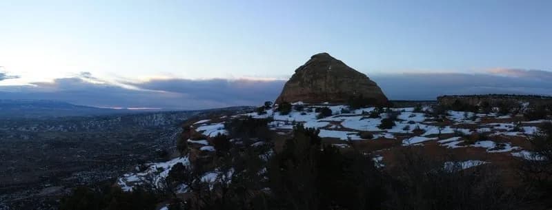
Coyote Ridge is a short mountain biking connector trail in Grand Junction, Colorado. The route spans 0.5 miles and sits at an elevation of 4,954 feet. It connects the Lunch Loops network to the Tabeguache Trail near Orchard Mesa. The trail functions as a technical climb in one direction and offers flow with drops and jumps when ridden west to east. Riders describe the challenge as moderate, though some sources classify it as challenging or black diamond depending on direction. The typical ride duration is approximately seven minutes, though estimates range from four to zero hours depending on riding style. The trail is open from April through October. Parking is available at the trailhead, and pets are permitted. The surface is ground-based singletrack.
Trail profile
Gain
—
Avg grade
—
Steepest
—
High point
4,954 ft
Good to know
Parking at the trailhead
Dogs allowed on leash
Waypoints
Latest trail reportgood
Trail is in good condition. Traction is good with minimal obstacles.
Reported Mar 2, 2025Verified
What people say
Reviews
No reviews yet
Been here? Help the next person out.
Within 30 miles