Hiking · Gunnison, CO
CT - Segment 19: Saguache Park Road to Eddiesville
Before you go
Live · nearest station Gunnison, 3 miStorms build later today. Plan an early finish.
Thunderstorms
Feels like 61°
Storm chance
57% tonight
Wind
5 mph NW
UV index
0.1 low
Sun window
6:56 am to 7:03 pm
Distance
14.3mi round trip
Elevation gain
591ft
High point
8,350ft
Season
Jan - Dec
About
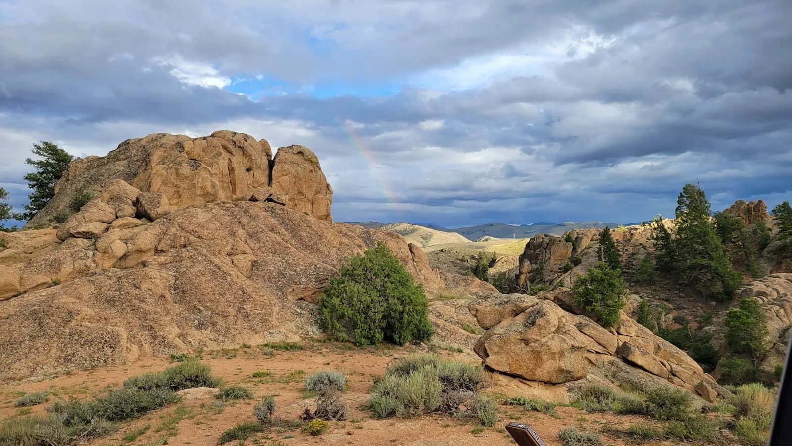
Colorado Trail Segment 19 is a 14.3-mile hiking route connecting Saguache Park Road to the Eddiesville Trailhead in Gunnison National Forest. The trail traverses the La Garita Wilderness, featuring varied terrain that includes double-track roads and cow pasture land. The segment begins on the well-maintained gravel Saguache Park Road (CO RD 17FF) and ends at the Eddiesville Trailhead. The route covers approximately 8 hours of hiking time with a moderate difficulty rating. The starting elevation is listed as 8,101 feet in the database, while other sources cite an elevation of 10,414 feet for the segment. Parking is available at the trailhead. Access to the Eddiesville Trailhead involves a drive of over 20 miles on dirt roads; a four-wheel-drive vehicle is not required, but adequate ground clearance is necessary. Camping is permitted in the surrounding Gunnison National Forest area. Hikers should carry ample water, as sources specifically advise packing plenty for this segment.
Trail profile
Gain
591 ft
Avg grade
1%
Steepest
2%
High point
8,350 ft
Good to know
Parking at the trailhead
Waypoints
Latest trail reportgood
Trail is in good condition. No significant obstacles or hazards reported.
Reported Mar 2, 2025Verified
What people say
Reviews
No reviews yet
Been here? Help the next person out.
Within 30 miles