Hiking · Silverton, CO
CT - Segment 24: Stony Pass to Molas Pass
Before you go
Live · nearest station Telluride, 13 miStorms build later today. Plan an early finish.
Thunderstorms
Feels like 54°
Trailhead temp
50° est. at 9,848 ft
Storm chance
58% tonight
Wind
5 mph NE
UV index
0 low
Sun window
6:59 am to 7:05 pm
Distance
20.94mi round trip
Elevation gain
2,818ft
High point
12,149ft
Season
Jan - Dec
About
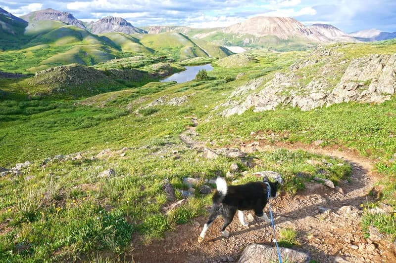
Segment 24 of the Colorado Trail runs 20.94 miles from Stony Pass to Molas Pass, connecting the Rio Grande and San Juan National Forests. The route begins at the Stony Pass Trailhead, which requires a 4WD vehicle to access. The trail is classified as difficult, covering 20.94 miles with approximately 3,869 feet of elevation gain and 5,100 feet of descent. The typical duration is about 14 hours. The path stays elevated and airy, featuring small climbs and passing several small lakes. A key feature is the junction where the Colorado Trail turns west and the Continental Divide Trail continues south. The trail descends through steep switchbacks into Elk Creek Canyon, passing an old mineshaft and navigating rugged terrain with potential avalanche debris and downed timber. Views include Vestal and Arrow Peaks in the Grenadier Range and the Animas River gorge. The trail crosses railroad tracks and the Animas River on a footbridge before ascending to Molas Pass. Silverton is located seven miles north of Molas Pass.
Trail profile
Gain
2,818 ft
Avg grade
3%
Steepest
8%
High point
12,149 ft
Good to know
Parking at the trailhead
Waypoints
Latest trail reportgood
Trail is in good condition. No significant obstacles or hazards reported.
Reported Mar 2, 2025Verified
What people say
Reviews
No reviews yet
Been here? Help the next person out.
Within 30 miles