Fall Hiking · Gunnison, CO
Curecanti Creek Trail
Before you go
Live · nearest station Montrose, 25 miGood window today.
Thunderstorms
Feels like 71°
Trailhead temp
63° est. at 8,037 ft
Storm chance
15% afternoon
Wind
5 mph NW
Distance
—
Elevation gain
—
High point
8,037ft
Season
Sep - Novin season
About
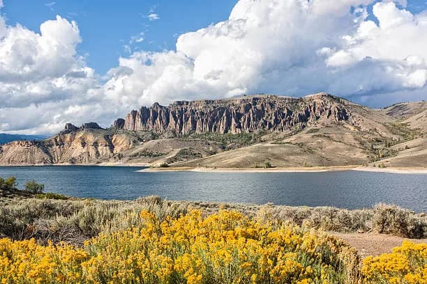
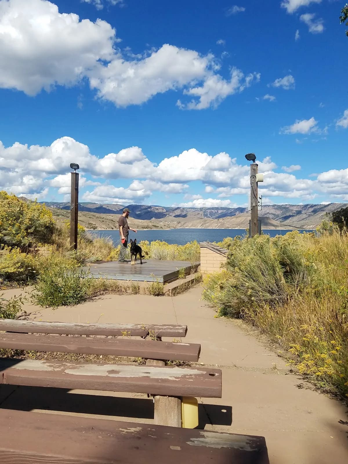
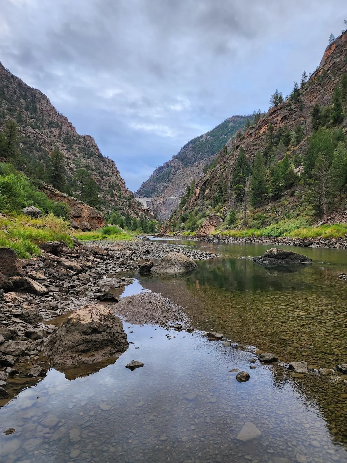
The Curecanti Creek Trail is a moderate to strenuous hiking route located in Gunnison, Colorado, on the Western Slope. The trail begins at Pioneer Point off CO Highway 92 and descends from the high rim of the Upper Black Canyon toward Morrow Point Reservoir. The route is approximately 2 miles one-way, covering a total distance of about 4 miles round-trip with an elevation change exceeding 800 feet. Hikers typically spend between two and three hours on the trail. The path follows Curecanti Creek through a mix of open, sun-exposed terrain and shaded sections dominated by fir and spruce trees. The first half of the trail sits on a southwest-facing slope, while the second half offers partial shade. The destination is marked by the Curecanti Needle, a 700-foot granite spire that towers over the trail end. The terrain features steep grades and uneven surfaces, making good shoes or boots necessary. The trail is accessible from September through November. While late spring, summer, and early fall are generally considered the best hiking seasons due to pleasant weather and lack of snow and ice, the location is at high elevation and subject to changing conditions. Water sources are available along the creek, but hikers should carry at least two quarts of water per person. Parking is available at the trailhead, and pets are permitted on a leash. Cell service is limited or nonexistent in this area, so bringing a map or downloading GPS maps beforehand is advisable.
Trail profile
Gain
—
Avg grade
—
Steepest
—
High point
8,037 ft
Good to know
Parking at the trailhead
Restrooms available
Dogs allowed on leash
Waypoints
No waypoints mapped for this trail yet.
What people say
Reviews
No reviews yet
Been here? Help the next person out.
Within 30 miles