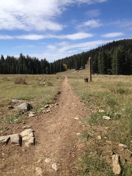
Hiking · Gunnison, CO
Dirty Sock Trail
Before you go
Live · nearest station Gunnison, 3 miStorms build later today. Plan an early finish.
Thunderstorms
Feels like 55°
Storm chance
57% tonight
Wind
5 mph ENE
Distance
1mi round trip
Elevation gain
154ft
High point
8,115ft
Season
Jan - Dec
About
The Dirty Sock Trail is a 1-mile hiking route near Gunnison, Colorado, situated at an elevation of approximately 8,115 feet. The trail is managed by the BLM Gunnison Field Office and features a dirt surface with mixed technical sections that offer balanced practice for hikers. While one source rates the trail as easy, another classifies it as difficult due to these technical moves. The route is open year-round and allows hiking, dogs, bikes, horses, and motorcycles. Parking is available at the trailhead.
Trail profile
Gain
154 ft
Avg grade
3%
Steepest
3%
High point
8,115 ft
Good to know
Parking at the trailhead
Waypoints
Latest trail reportgood
Trail is in good condition. No significant obstacles or hazards reported.
Reported Mar 2, 2025Verified
What people say
Reviews
No reviews yet
Been here? Help the next person out.
Within 30 miles