Hiking · Grand Junction, CO
Eagle's Tail
Before you go
Live · nearest station Grand Junction, 2 miGood window today.
Thunderstorms
Feels like 76°
Storm chance
18% afternoon
Wind
5 mph WSW
Gunnison River near Grand Junction is running 1,160 cfs, water 65°.
Distance
1.12mi round trip
Elevation gain
9ft
High point
4,642ft
Season
Jan - Dec
About
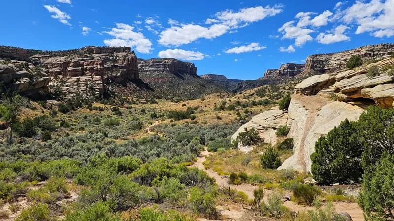
Eagle's Tail is a 1.12-mile hiking trail in the Tabeguache Lunch Loop Trail System on BLM land in Grand Junction, Colorado. The trail begins near the end of Monument Road, accessible from the parking lot alongside the bike park. Hikers head right at the trailhead, then take a right at the Eagle's Tail/Pet-e-kes junction into the wash. The route climbs over rocky terrain to reach a ridge, offering views of parallel trails. The trail connects with Eagle's Wing and Andy's Loop. Sources vary on difficulty, listing it as difficult due to steep incline and technical rockwork, or easy due to gentle ground surface. The trail is open year-round. Parking is available at the start.
Trail profile
Gain
9 ft
Avg grade
0%
Steepest
0%
High point
4,642 ft
Good to know
Parking at the trailhead
Waypoints
Latest trail reportgood
Trail is in good condition. No significant obstacles or hazards reported.
Reported Mar 2, 2025Verified
What people say
Reviews
No reviews yet
Been here? Help the next person out.
Within 30 miles