Hiking · Grand Junction, CO
Grand View Trail
Before you go
Live · nearest station Grand Junction, 3 miGood window today. Daylight to 5:05 pm.
Clear
Feels like 36°
Wind
5 mph ESE
UV index
0 low
Sun window
6:49 am to 5:05 pm
Gunnison River near Grand Junction is running 1,690 cfs and falling, water 48°.
Distance
0.1mi round trip
Elevation gain
—
High point
4,656ft
Season
Jan - Dec
About
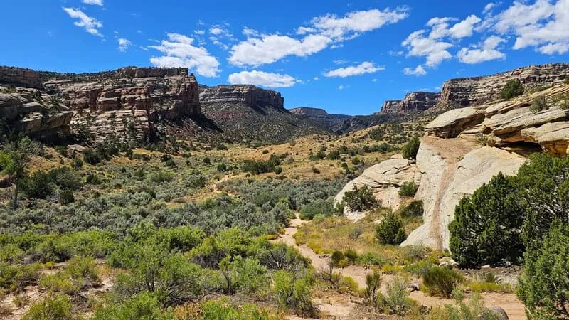
The Grand View Trail is a short, easy hike located in Grand Junction, Colorado, on the Western Slope. The trailhead sits at an elevation of 4,646 feet, though some sources cite 5,619 feet. The trail itself is 0.1 miles long and takes approximately 3 minutes to complete, making it suitable for visitors with limited time or those seeking a quick stop. Parking is available nearby. The trail is accessible year-round, from January through December. It is situated in a region characterized by high-desert terrain and red rock formations, near the confluence of the Colorado and Gunnison rivers.
Trail profile
Gain
—
Avg grade
—
Steepest
—
High point
4,656 ft
Good to know
Parking at the trailhead
Waypoints
Latest trail reportgood
Trail is in good condition. No significant obstacles or hazards reported.
Reported Mar 2, 2025Verified
What people say
Reviews
No reviews yet
Been here? Help the next person out.
Within 30 miles