Hiking · Fruita, CO
Fruita
Before you go
Live · nearest station Grand Junction, 12 miGood window today. Daylight to 7:10 pm.
Mostly Cloudy
Feels like 74°
Storm chance
5% tonight
Wind
5 mph SSW
UV index
0 low
Sun window
7:03 am to 7:10 pm
Distance
—
Elevation gain
—
High point
4,512ft
Season
Jan - Dec
About
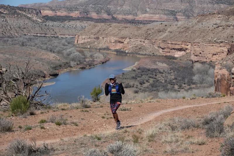
Fruita serves as a gateway to extensive high desert hiking, primarily within Colorado National Monument and the McInnis Canyons National Conservation Area. The landscape is defined by red rock canyons, towering sandstone monoliths, and natural arches. Trails vary in difficulty, ranging from easy walks to more challenging paths, with many being well-marked and well-maintained. The area offers approximately 49 scenic trails, including options suitable for families and kids. Hiking typically requires an entrance fee for Colorado National Monument. Parking is available, and pets are allowed on most trails. The terrain features high desert plateaus and rocky outcroppings, with visibility generally easy to follow. Trails are accessible year-round.
Trail profile
Gain
—
Avg grade
—
Steepest
—
High point
4,512 ft
Good to know
Parking at the trailhead
Dogs allowed on leash
Waypoints
No waypoints mapped for this trail yet.
What people say
Reviews
No reviews yet
Been here? Help the next person out.
Within 30 miles