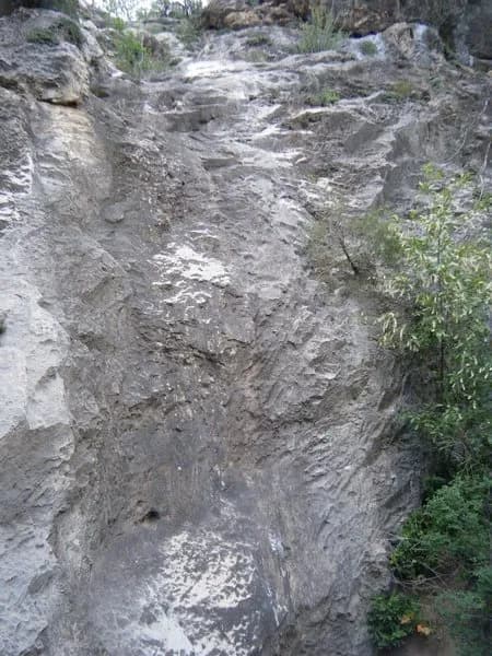
Fall Hiking · Glenwood Springs, CO
Grizzly Creek Trailhead
Before you go
Live · nearest station Glenwood Springs, 4 miGood window today.
Mostly Sunny
Feels like 50°
Wind
5 mph ESE
Roaring Fork at Glenwood Springs is running 459 cfs, water 53°.
Distance
—
Elevation gain
—
High point
5,894ft
Season
Sep - Novin season
About
The Grizzly Creek Trail is a moderate, out-and-back hike located in Glenwood Canyon near Glenwood Springs, Colorado. The trail follows Grizzly Creek north from the Colorado River, offering views of towering cliffs, dense vegetation, and creek-side wildflowers. Access is via Exit 121 on Interstate 70, with parking available in the upper lot of the rest and recreation area. The trailhead begins at approximately 5,894 feet and climbs to a high point of roughly 7,700 feet over a distance of about 7 miles round trip, gaining approximately 1,500 feet of elevation. Most hikers complete the route in 3 to 4 hours. The first half mile is broad and level, while the remainder becomes narrower, rockier, and winds through lush vegetation. The trail is suitable for dogs, which must be kept on a leash. Fall is a recommended season for hiking, though conditions can vary due to post-2020 fire recovery and potential debris flow risks. Hikers should verify current trail status and closure notices before visiting.
Trail profile
Gain
—
Avg grade
—
Steepest
—
High point
5,894 ft
Good to know
Parking at the trailhead
Restrooms available
Dogs allowed on leash
Waypoints
No waypoints mapped for this trail yet.
What people say
Reviews
No reviews yet
Been here? Help the next person out.
Within 30 miles
Nearby spots
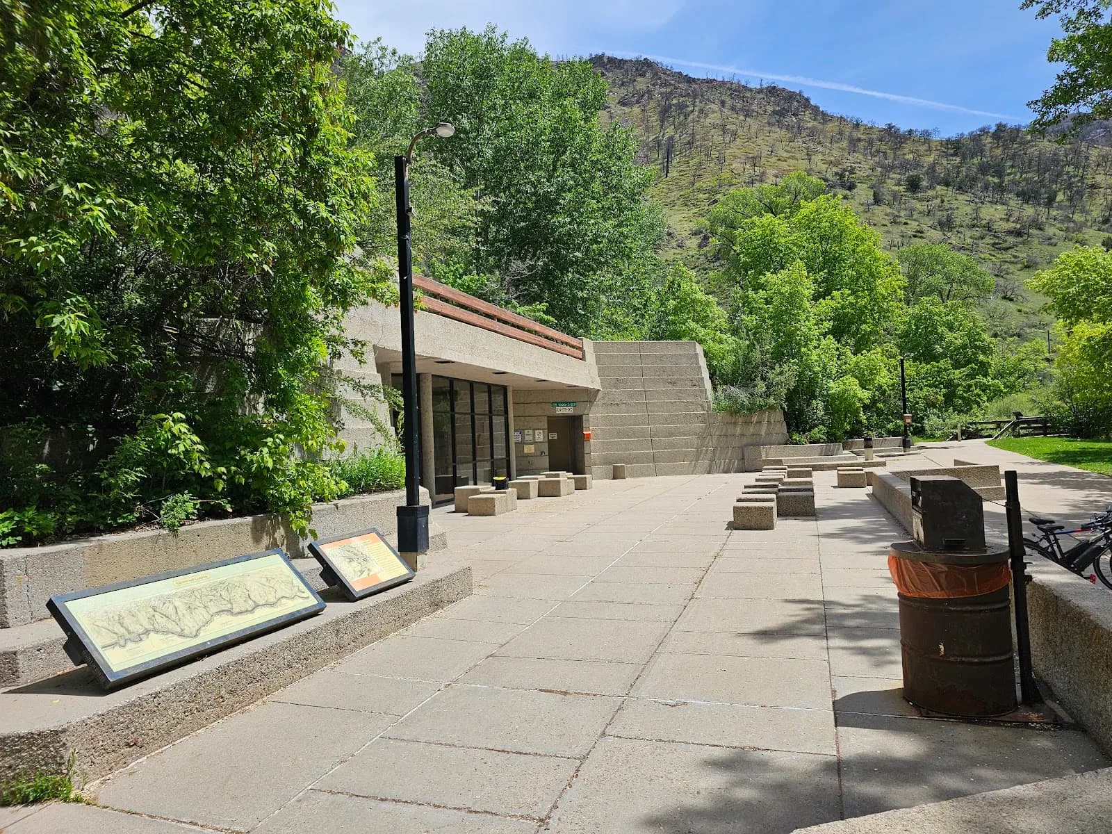
Grizzly Creek Rest Area
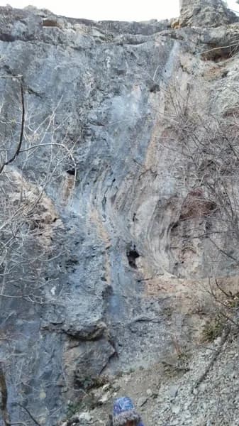
Short Sport in the Short Fort