Hiking · Durango, CO
Hermosa, Clear, South Fork Creeks Loop
Before you go
Live · nearest station Durango, 0 miGood window today.
Mostly Sunny
Feels like 65°
Storm chance
14% afternoon
Wind
5 mph S
Animas River at Durango is running 1,200 cfs and falling, water 49°.
Distance
27.8mi round trip
Elevation gain
2,213ft
High point
8,745ft
Season
Jan - Dec
About
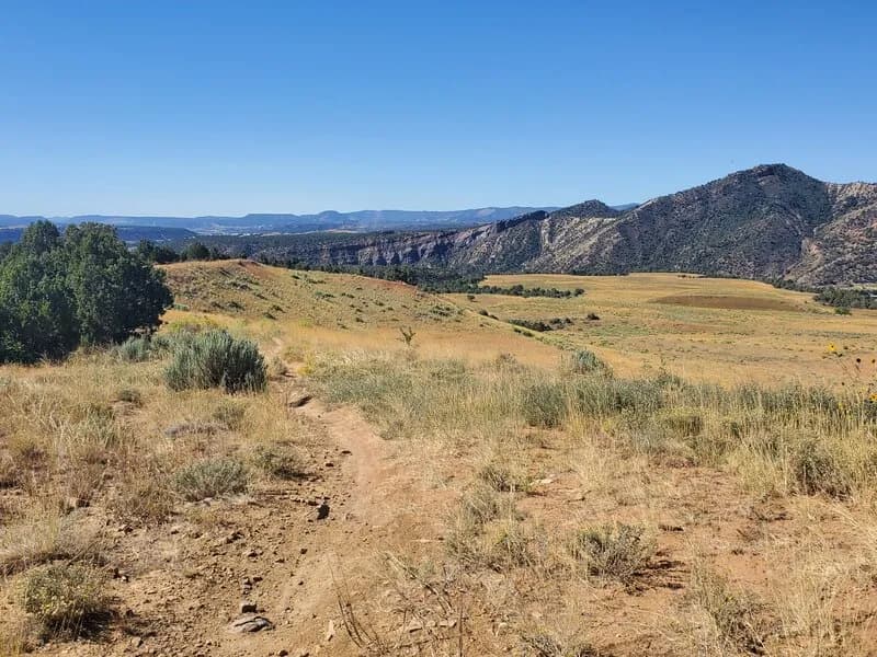
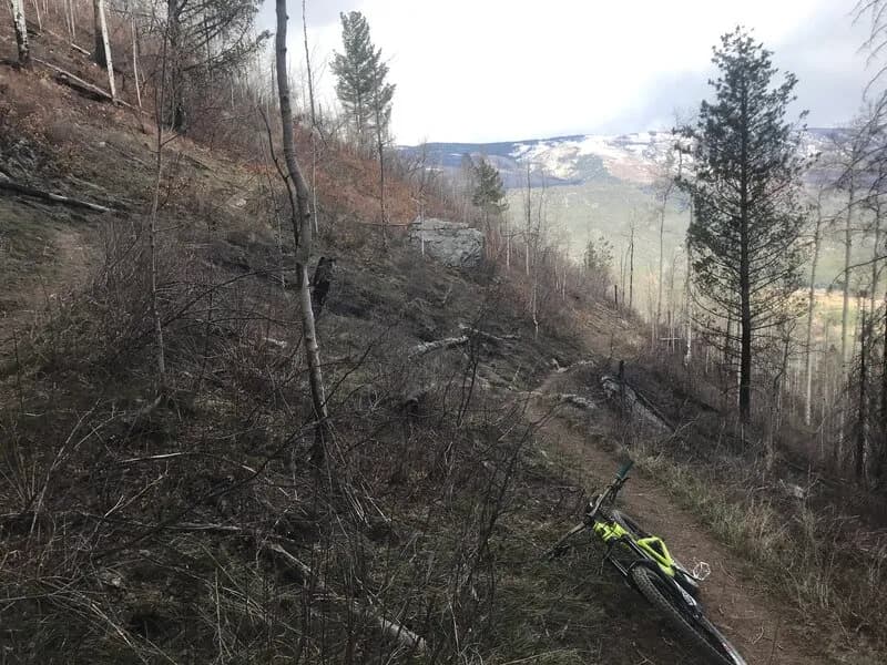
The Hermosa, Clear, South Fork Creeks Loop is a 27.8-mile hiking route near Durango, Colorado, classified as difficult with an elevation of 6,535 feet. The trail typically requires about 19 hours to complete and offers parking at the trailhead. Hikers access the loop by starting on the Hermosa Creek Trail, connecting to Clear Creek Trail #550 and South Fork Trail #549. The route passes through creek valleys and surrounding mountains, with conditions that include potential snow and ice during winter months. The trail is accessible year-round.
Trail profile
Gain
2,213 ft
Avg grade
2%
Steepest
3%
High point
8,745 ft
Good to know
Parking at the trailhead
Waypoints
Latest trail reportgood
Trail is in good condition. No significant obstacles or hazards reported.
Reported Mar 2, 2025Verified
What people say
Reviews
No reviews yet
Been here? Help the next person out.
Within 30 miles