Hiking · La Plata, CO
Hermosa Creek Trail
Before you go
Live · nearest station Durango, 19 miStorms build later today. Plan an early finish.
Thunderstorms
Feels like 60°
Storm chance
57% tonight
Wind
5 mph ENE
Distance
—
Elevation gain
—
High point
8,217ft
Season
Jan - Dec
About
The Hermosa Creek Trail is a long-distance route through the Hermosa Creek Wilderness in the San Juan Mountains near Durango, La Plata County, Colorado. It serves as a primary corridor for backpacking and mountain biking, offering a point-to-point option or shorter out-and-back segments. The full route spans approximately 21 miles with about 2,200 feet of elevation gain, reaching a high point of 9,050 feet. Most hikers complete the full distance in roughly 8 hours. Many users opt for a 6 to 10-mile out-and-back hike from the trailhead, which is accessible year-round. Parking is available at the trailhead, though lots can fill early on summer weekends. The trail is managed by the US Forest Service and allows dogs, which must be leashed. The terrain consists of ground surfaces within a valley setting, featuring aspen groves that turn color in early September. While the full trail is rated moderate due to distance and elevation, shorter sections may be considered easy. Access roads can be subject to closures, so verifying conditions before driving out is advised.
Trail profile
Gain
—
Avg grade
—
Steepest
—
High point
8,217 ft
Good to know
Parking at the trailhead
Dogs allowed on leash
Waypoints
No waypoints mapped for this trail yet.
What people say
Reviews
No reviews yet
Been here? Help the next person out.
Within 30 miles
Nearby spots
Upper Hermosa Creek Trail, Durango, CO
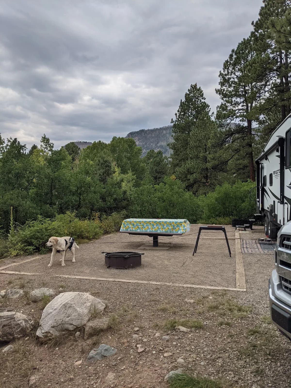
Haviland Lake Campground