Hiking · Durango, CO
Lightner Creek Trail
Before you go
Live · nearest station Durango, 0 miGood window today.
Mostly Sunny
Feels like 65°
Storm chance
14% afternoon
Wind
5 mph S
Animas River at Durango is running 1,200 cfs and falling, water 49°.
Distance
2mi round trip
Elevation gain
193ft
High point
6,848ft
Season
Jan - Dec
About
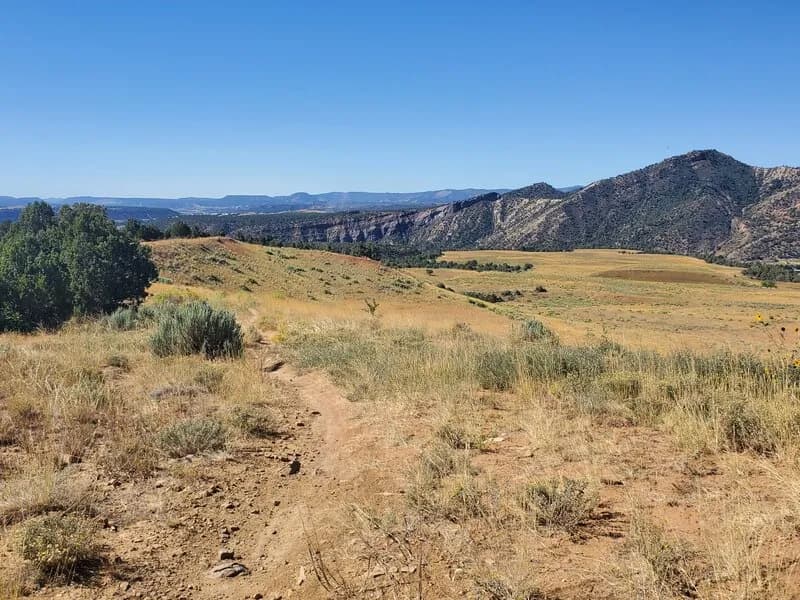
The Lightner Creek Trail is an easy, multi-use route in Durango, Colorado, connecting to the Twin Buttes Trail System. The trail spans approximately 1.8 to 2 miles with a gentle elevation gain of roughly 100 to 422 feet, making it suitable for hikers and mountain bikers of all skill levels. The surface consists primarily of dirt and singletrack, with sections that are gravel or currently undergoing paving as part of a City of Durango project. Trail visibility is generally clear, though some areas may be overgrown. There are two main access points: a dirt parking lot near a Speedway gas station on the north side of Highway 160, and a secondary entry via Lightner Creek Road (CR 207). The trail allows leashed dogs and is open year-round, including for winter recreation. Parking is available at the primary trailhead.
Trail profile
Gain
193 ft
Avg grade
2%
Steepest
2%
High point
6,848 ft
Good to know
Parking at the trailhead
Waypoints
Latest trail reportgood
Trail is in good condition. No significant obstacles or hazards reported.
Reported Mar 2, 2025Verified
What people say
Reviews
No reviews yet
Been here? Help the next person out.
Within 30 miles