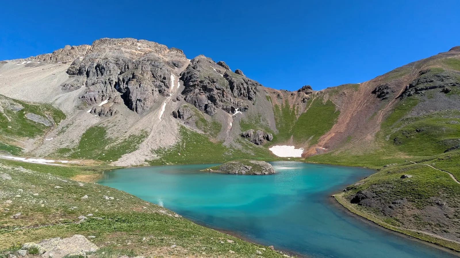
Fall Hiking · Durango, CO
Lime Mesa Trailhead
Before you go
Live · nearest station Durango, 21 miStorms are likely above treeline tonight. Start early and be off the ridge by midday.
Thunderstorms
Feels like 56°
Storm chance
57% tonight
Wind
0 mph
Distance
—
Elevation gain
—
High point
11,508ft
Season
Sep - Novin season
About
The Lime Mesa Trailhead serves as the access point for trails in the San Juan National Forest near Durango, Colorado. The primary route is the Lime Mesa Trail, a 5.9-mile out-and-back path that allows hiking, biking, and snow travel. The trail is rated moderate and typically takes about two hours to complete. Elevation reaches approximately 11,508 feet. The trailhead is located by driving east on County Road 250 from Durango, then following Missionary Ridge Road (FS 682) for roughly 17.5 miles to the Henderson Lake turn-off. From there, drive five miles on FS 081, which requires four-wheel drive for the final two miles. Parking is available at the trailhead. Pets are permitted on a leash. Fall hiking, specifically from September through November, is a common time to visit. The trail surface is dirt, and conditions vary with weather. While some sources mention restrooms, the core evidence confirms parking and trail access as the primary amenities.
Trail profile
Gain
—
Avg grade
—
Steepest
—
High point
11,508 ft
Good to know
Parking at the trailhead
Restrooms available
Dogs allowed on leash
Waypoints
No waypoints mapped for this trail yet.
What people say
Reviews
No reviews yet
Been here? Help the next person out.
Within 30 miles