Hiking · Fruita, CO
Lion's Loop
Before you go
Live · nearest station Grand Junction, 12 miGood window today.
Mostly Cloudy
Feels like 66°
Storm chance
5% tonight
Wind
5 mph E
Distance
5.1mi round trip
Elevation gain
544ft
High point
5,167ft
Season
Jan - Dec
About
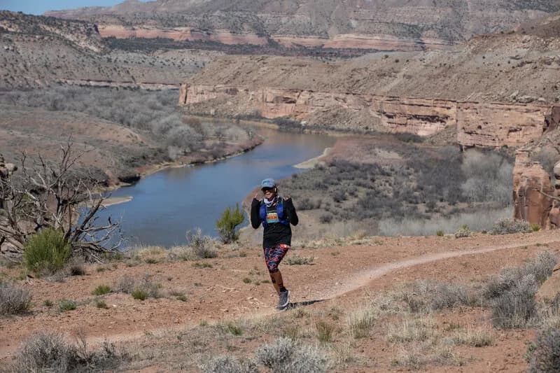
Lion's Loop is a 5.1-mile hiking trail in Fruita, Colorado, rated difficult with an elevation of 5,167 feet. The route typically takes about three hours to complete and offers year-round access with parking available at the trailhead. The trail begins on Mary's Loop, just north of Steve's Loop, starting with a steep, loose quarter-mile climb along an old stock road. This initial section is often rutted but transitions into singletrack. After two-thirds of a mile, hikers pass a viewpoint on the left overlooking Steve's Loop and the Colorado River. The trail continues as doubletrack before becoming singletrack in style, then intersects another stock road at a switchback. From this junction, the trail heads north uphill along the Kokopelli Trail for approximately 2 miles. The northern and western sections span roughly 2.75 miles of dirt road climbing over Mack Ridge to Hawkeye Road. The route features challenging ascents and technical descents through high desert terrain, undulating sandstone ridges, and juniper forests. Hikers can see views of the Book Cliffs, the Colorado River Valley, and Horsethief Canyon. The trail is open all year, from January through December.
Trail profile
Gain
544 ft
Avg grade
2%
Steepest
3%
High point
5,167 ft
Good to know
Parking at the trailhead
Waypoints
Latest trail reportgood
Trail is in good condition. No significant obstacles or hazards reported.
Reported Mar 2, 2025Verified
What people say
Reviews
No reviews yet
Been here? Help the next person out.
Within 30 miles