Fall Hiking · Egnar, CO
Lone Mesa State Park
Before you go
Live · nearest station Telluride, 36 miGood window today.
Chance of Rain
Feels like 44°
Storm chance
48% tonight
Wind
0 mph
Distance
—
Elevation gain
—
High point
8,356ft
Season
Sep - Novin season
About
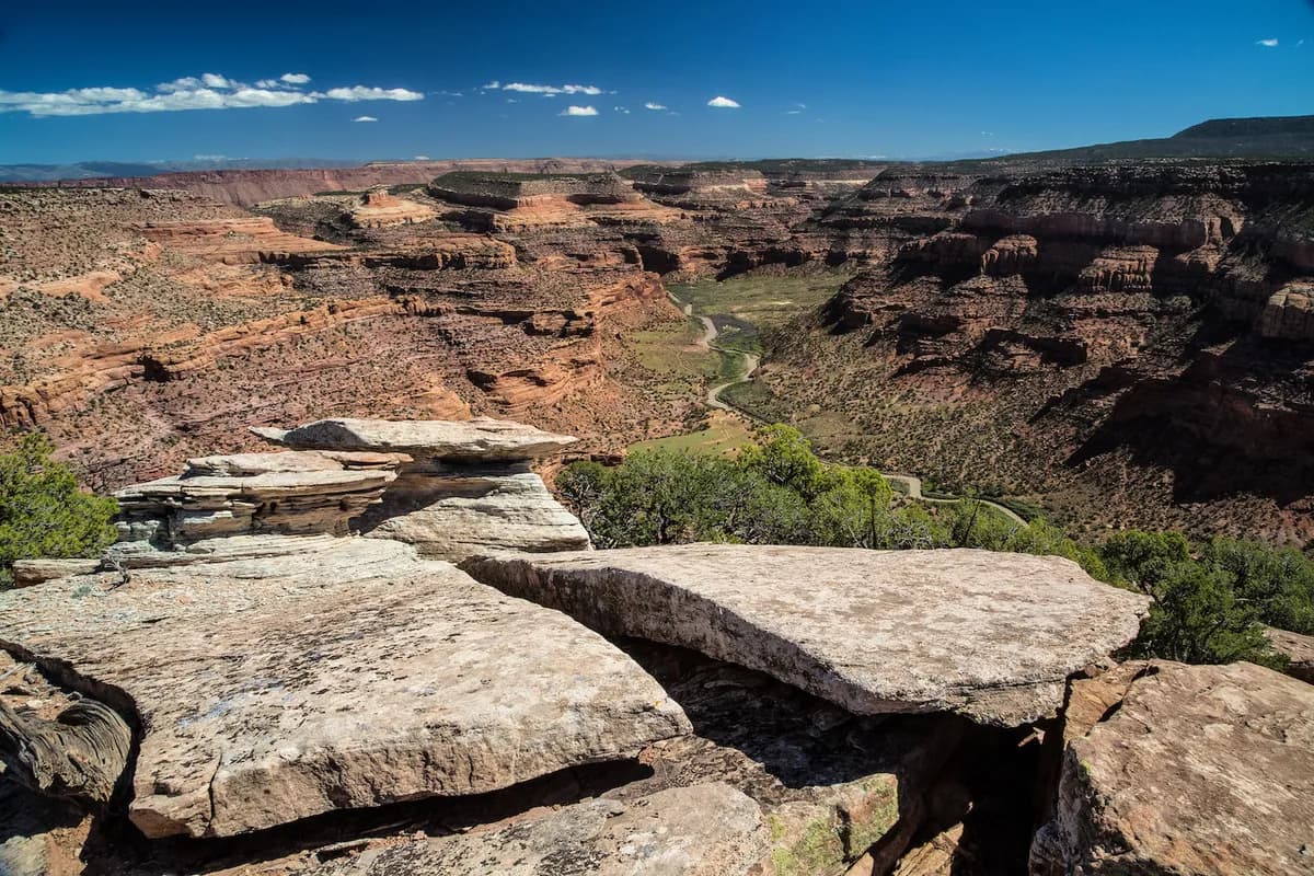
Lone Mesa State Park sits near Egnar on the Western Slope, offering moderate fall hiking across 11,618 acres of high desert terrain. Elevations range from 7,200 to 9,000 feet, providing views of mesa tops and surrounding hills. Trails traverse uneven, rocky ground through pinion pine forests and rolling hills. The park is accessible via Forest Roads 526 and 514 north of Dolores. Parking is available, and the site is pet-friendly. Hikes typically last about two hours. Fall foliage occurs from September through November. Note that access can be restricted during big-game hunting seasons, and the park lacks a visitor center.
Trail profile
Gain
—
Avg grade
—
Steepest
—
High point
8,356 ft
Good to know
Parking at the trailhead
Restrooms available
Dogs allowed on leash
Waypoints
No waypoints mapped for this trail yet.
What people say
Reviews
No reviews yet
Been here? Help the next person out.
Within 30 miles