Hiking · Fruita, CO
Mack Mesa Loop
Before you go
Live · nearest station Grand Junction, 12 miGood window today. Daylight to 7:10 pm.
Mostly Cloudy
Feels like 74°
Storm chance
5% tonight
Wind
5 mph SSW
UV index
0 low
Sun window
7:03 am to 7:10 pm
Distance
—
Elevation gain
—
High point
4,514ft
Season
Jan - Dec
About
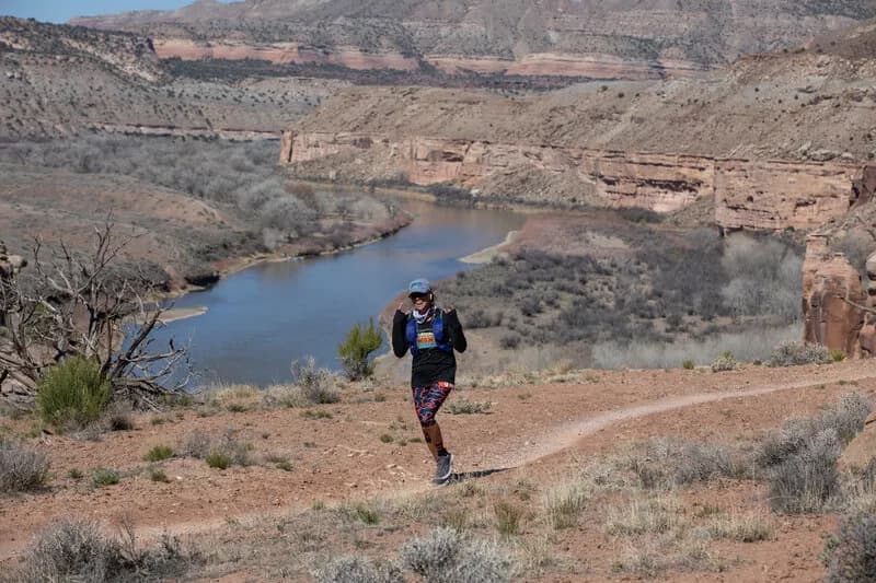
The Mack Mesa Loop is an easy, one-mile hiking trail located in Highline Lake State Park near Loma and Fruita on Colorado’s Western Slope. The trail sits at an elevation of 4,512 feet and offers views of the mesa overlooking Highline Lake. It is suitable for both hiking and mountain biking on its unpaved surface. The route begins at the Mack Mesa Trailhead, situated at the end of main park road 11 1/2. Hikers typically complete the loop in approximately 18 minutes, with minimal elevation gain of about six meters. The path winds through high desert vegetation and leads up to Mack Hill for panoramic views before returning along the lake shoreline. Parking is available directly at the trailhead, and the trail remains accessible year-round. Water sources are located on the east side of the park at the Visitor Center, Day Use Area, or Bookcliff Campground. The trail is close to the Kokopelli and North Fruita Desert Trails bike complexes.
Trail profile
Gain
—
Avg grade
—
Steepest
—
High point
4,514 ft
Good to know
Parking at the trailhead
Waypoints
Latest trail reportgood
Spring conditions with some muddy sections. Trail is generally in good shape.
Reported Mar 2, 2025Verified
What people say
Reviews
No reviews yet
Been here? Help the next person out.
Within 30 miles