Hiking · Fruita, CO
Mack Ridge
Before you go
Live · nearest station Grand Junction, 12 miGood window today.
Mostly Cloudy
Feels like 66°
Storm chance
5% tonight
Wind
5 mph E
Distance
3.8mi round trip
Elevation gain
532ft
High point
5,079ft
Season
Jan - Dec
About
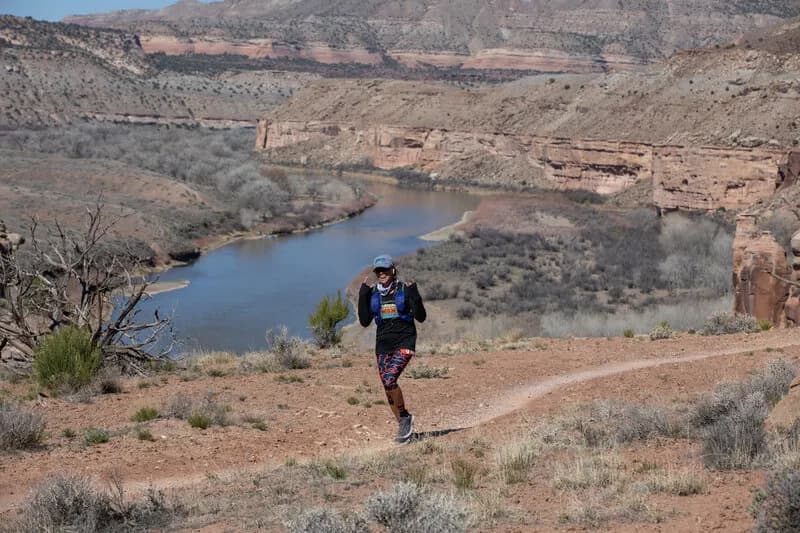
Mack Ridge is a 3.8-mile hiking trail located in Fruita, Colorado, on the Western Slope. The route is classified as difficult and typically takes about three hours to complete. Starting at an elevation of 4,518 feet, the trail climbs through switchbacks and rocky passes to reach a ridge high above the river valley. The path features rugged sections, including a short singletrack descent and a 1.25-mile difficult downhill stretch near the end. Parking is available at the trailhead, which sits approximately 2.25 miles west of the main Kokopelli Trailhead on Hawkeye Road. The trail is accessible year-round, though hikers should watch for mountain bikers on the downhill sections. The route connects with Lion's Loop and Troy Built trails, allowing for loop variations.
Trail profile
Gain
532 ft
Avg grade
3%
Steepest
8%
High point
5,079 ft
Good to know
Parking at the trailhead
Waypoints
Latest trail reportgood
Trail is in good condition. No significant obstacles or hazards reported.
Reported Mar 2, 2025Verified
What people say
Reviews
No reviews yet
Been here? Help the next person out.
Within 30 miles