Mountain Biking · Paonia, CO
MJ Loop
Before you go
Live · nearest station Delta County, 16 miGood window today.
Partly Sunny
Feels like 59°
Trailhead temp
54° est. at 6,186 ft
Storm chance
10% afternoon
Wind
5 mph WNW
Distance
6.4mi round trip
Elevation gain
498ft
High point
6,186ft
Season
Apr - Octin season
About
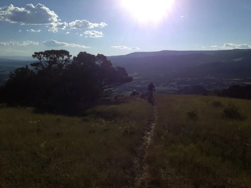
The MJ Loop is a 6.4-mile moderate mountain biking trail located in Paonia, Colorado, on the Western Slope. The trail sits at an elevation of 6,186 feet and typically takes about two hours to complete. It is accessible from April through October, with parking available at the trailhead and pets allowed on the route. The ride features a rolling climb followed by fast, flowing singletrack sections. Riders enter near the Gully Trail and follow Sweet Shady North across a gully before climbing along a fence to CC’s Corner. The route descends into Plumber's Crack, which includes climbs and descents for more than a mile. A key feature is the vista at Dead Deer Point, followed by a fast descent. The trail passes Zip n' Out and crosses Wapiti Whip near a large gully marked by rainbow rock. Connections to Lower Rock n' Roll and Upper Plumber’s Crack allow for route variations. The loop includes the Radar Love section of Wapiti Whip, which climbs to a ridge and crosses an unnamed game trail. The route continues through fast sections into Herfendoodle, which drops riders over a bridge and up a sidehill. A right-hand turn leads to the Cactus Cut Off, where a cactus may be visible in May. The trail intersects with Zip n' Out and returns to the Gully Trail at the start.
Trail profile
Gain
498 ft
Avg grade
1%
Steepest
3%
High point
6,186 ft
Good to know
Parking at the trailhead
Dogs allowed on leash
Waypoints
Latest trail reportgood
Trail is in good condition. Traction is good with minimal obstacles.
Reported Mar 2, 2025Verified
What people say
Reviews
No reviews yet
Been here? Help the next person out.
Within 30 miles