Hiking · Paonia, CO
Sweet Shady North
Before you go
Live · nearest station Delta County, 16 miGood window today.
Partly Sunny
Feels like 59°
Trailhead temp
56° est. at 5,681 ft
Storm chance
10% afternoon
Wind
5 mph WNW
Distance
—
Elevation gain
—
High point
5,681ft
Season
Jan - Dec
About
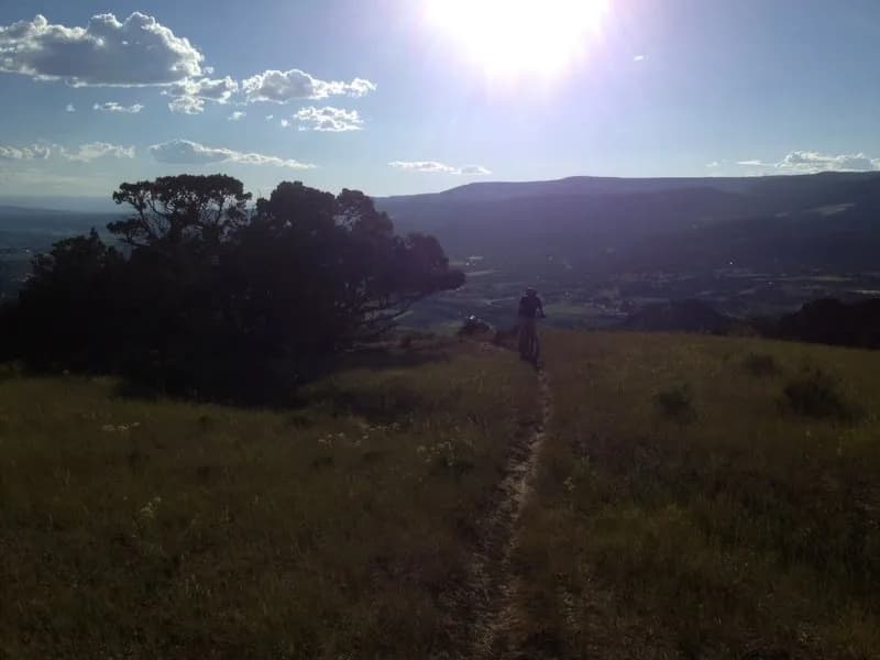
Sweet Shady North is a hiking and mountain biking trail located in Paonia, Colorado, on the Western Slope. The trailhead offers parking and sits at an elevation of 5,681 feet. It serves as a primary access point for lower trails in the area, including Plumber's Crack and Wapiti Whip. The route is generally considered moderate in difficulty for hikers, though some sources classify the connected Gully and Sweet Shady Loop as easy. The loop covers 1.9 miles with an average completion time of 43 minutes. A separate walking route on the same path is approximately one mile long with an elevation gain of about 164 feet. The trail is open year-round and supports hiking, mountain biking, and trail running. Dogs are permitted off-leash. The area is currently subject to CriticalGold Mountain Fire evacuation orders, so visitors should check for active GO zone restrictions before visiting. The trail can be traversed in either direction and provides access to other nearby scenic routes.
Trail profile
Gain
—
Avg grade
—
Steepest
—
High point
5,681 ft
Good to know
Parking at the trailhead
Waypoints
Latest trail reportgood
Spring conditions with some muddy sections. Trail is generally in good shape.
Reported Mar 2, 2025Verified
What people say
Reviews
No reviews yet
Been here? Help the next person out.
Within 30 miles