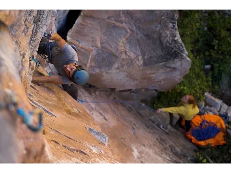
Rock Climbing · Rifle, CO
Modest Mouse
Before you go
Live · nearest station Glenwood Springs, 26 miStorms build later today. Plan an early finish.
Thunderstorms
Feels like 59°
Storm chance
77% tonight
Wind
5 mph ESE
UV index
0 low
Sun window
7:00 am to 7:04 pm
Distance
—
Elevation gain
8ft
High point
5,664ft
Season
Jan - Dec
About
Modest Mouse is a 5.12c sport climb located on Project Wall in Rifle Mountain Park, Rifle, Colorado. The route is a link-up of the 'Defenseless Betty' and 'Mousetrap' routes, totaling approximately 40 feet. Climbers start by ascending Defenseless Betty to its anchors, skipping the final bolt to reach left and clip the chain draw of Mousetrap. The climb continues up and left to the Mousetrap anchors, then proceeds for four more bolts to the final anchors. The route is noted for tricky sections separated by good rests and is considered more popular and arguably better than the adjacent 'Mighty Mouse' route. The rock is limestone, typical of the Rifle area, which is known for high-quality sport climbing, particularly at the 5.12 and up grades. The area is accessible year-round, with parking available and pets allowed. The elevation is approximately 5,664 feet. The route is situated to the right of Mousetrap and left of Hang em' High. Climbers should be prepared for a strenuous effort, as the route is rated difficult. The area is fairly crowded on weekends from May through September. The route has been redpointed by notable climbers, including Tom Wright. The GPS coordinates are 39.71873, -107.69094. The route is suitable for those with an 80-meter rope, though lowering to the DB anchors and rethreading is an option for those with shorter ropes.
Trail profile
Gain
8 ft
Avg grade
—
Steepest
—
High point
5,664 ft
Good to know
Parking at the trailhead
Dogs allowed on leash
Waypoints
Latest trail reportgood
Spring climbing conditions. Route may be wet after rainfall. Check weather forecast before climbing.
Reported Mar 3, 2025Verified
What people say
Reviews
No reviews yet
Been here? Help the next person out.
Within 30 miles