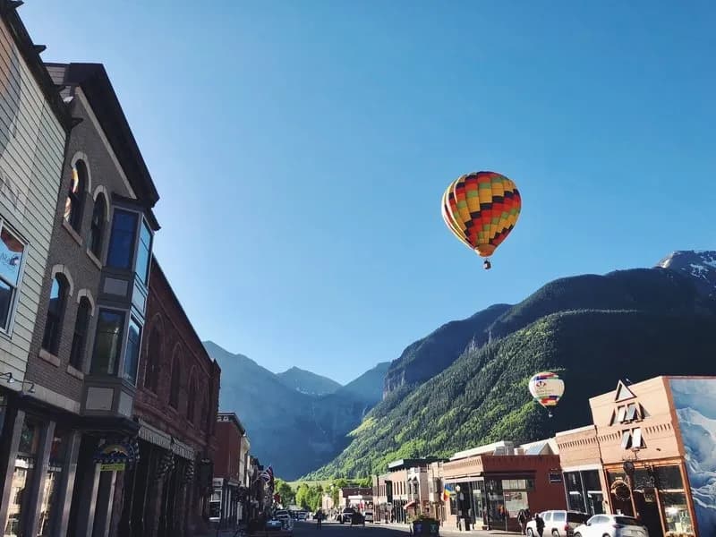
Fall Hiking · Telluride, CO
Mount Sneffels Wilderness
Before you go
Live · nearest station Telluride, 6 miGood window today.
Mostly Sunny
Feels like 32°
Trailhead temp
23° est. at 12,351 ft
Wind
5 mph SE
San Miguel River near Placerville is running 213 cfs.
Distance
—
Elevation gain
—
High point
12,351ft
Season
Sep - Novin season
About
The Mount Sneffels Wilderness sits on the Uncompahgre National Forest near Telluride, Ridgway, and Ouray. The area covers 16,587 acres with elevations ranging from roughly 9,450 feet to 14,158 feet at the summit. It offers moderate fall hiking opportunities from September through November. The landscape features aspen groves and coniferous forests, with gold aspens contrasting against jagged terrain and early snow dustings. There are 15 miles of constructed trails, including the Blue Lakes Trail and the Sneffels Highline Trail. Hikers have access to parking at trailheads such as Blue Lakes and Yankee Boy Basin. The area is pet friendly, allowing dogs on leashes. While the standard routes are accessible to general hikers, some paths like the Southwest Ridge require Class 3 scrambling. The region sees high visitor use, particularly on weekends and holidays.
Trail profile
Gain
—
Avg grade
—
Steepest
—
High point
12,351 ft
Good to know
Parking at the trailhead
Restrooms available
Dogs allowed on leash
Waypoints
No waypoints mapped for this trail yet.
What people say
Reviews
No reviews yet
Been here? Help the next person out.
Within 30 miles