Hiking · Durango, CO
Mud Springs
Before you go
Live · nearest station Durango, 0 miGood window today. Daylight to 6:28 pm.
Thunderstorms
Feels like 53°
Storm chance
37% tonight
Wind
0 mph
UV index
0 low
Sun window
7:23 am to 6:28 pm
Animas River at Durango is running 1,180 cfs and falling, water 49°.
Distance
2.11mi round trip
Elevation gain
10ft
High point
6,542ft
Season
Jan - Dec
About
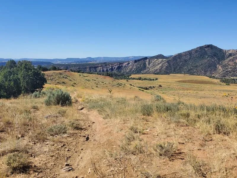
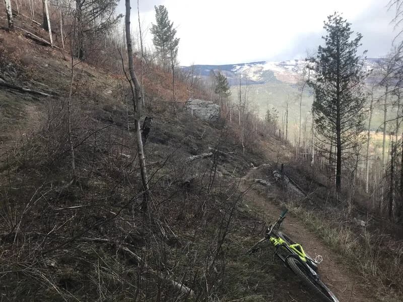
Mud Springs is a 2.11-mile hiking trail in Durango, Colorado, classified as difficult with an elevation of 6,534 feet. The route typically takes about one hour to complete. It begins at the Baldy Mountain trailhead, located above Durango Hills neighborhoods on Forest Service Road 071. Hikers proceed uphill past a gate before the trail branches northeast into dense forest. The path is narrow, well-packed dirt and easy to follow. It crosses small creeks and grassy clearings where cows and muddy ponds are visible. About halfway up, the trail exits the forest to reveal stands of aspens and steepening grades. Views open to the east and south, showing radio towers on Baldy Mountain’s summit. The trail turns west near the telephone wires to end at FS 071. Parking is available at the trailhead. Amenities include no water and no fee, with bathrooms nearby. The area is managed by the BLM Tres Rios Field Office.
Trail profile
Gain
10 ft
Avg grade
0%
Steepest
0%
High point
6,542 ft
Good to know
Parking at the trailhead
Waypoints
Latest trail reportgood
Trail is in good condition. No significant obstacles or hazards reported.
Reported Mar 2, 2025Verified
What people say
Reviews
No reviews yet
Been here? Help the next person out.
Within 30 miles