Hiking · Durango, CO
Ned's Hill Trail
Before you go
Live · nearest station Durango, 0 miFlood Warning is active nearby. Sit this one out and check back before you head up.
Mostly Sunny
Feels like 54°
Storm chance
20% afternoon
Wind
5 mph S
Animas River at Durango is running 1,840 cfs, water 47°.
Distance
0.5mi round trip
Elevation gain
—
High point
7,007ft
Season
Jan - Dec
About
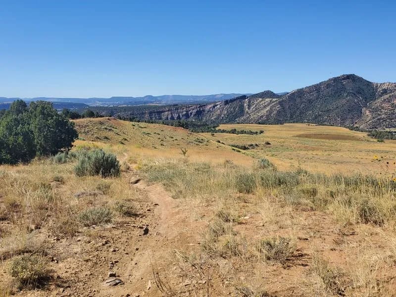
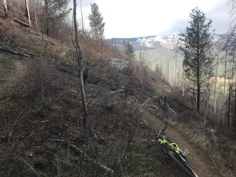
Ned's Hill Trail is a short, 0.3 to 0.5-mile hiking route located in Overend Mountain Park, just west of downtown Durango. The trail connects to the broader trail system accessible via Grabens Loop, Perins Gulch, and Englehart's trails. It serves as a steep climb to the hilltop and a technical downhill toward Leyden Street. The surface is natural ground, which can be muddy after rain, and the terrain features steep climbs and roller-coaster ups and downs. While some sources rate it easy, others note the steep sections can be daunting, making it moderately technical for some hikers. Parking is available at the trailhead. The trail is open year-round but is suitable for both hiking and biking.
Trail profile
Gain
—
Avg grade
—
Steepest
—
High point
7,007 ft
Good to know
Parking at the trailhead
Waypoints
Latest trail reportgood
Trail is in good condition. No significant obstacles or hazards reported.
Reported Mar 2, 2025Verified
What people say
Reviews
No reviews yet
Been here? Help the next person out.
Within 30 miles