Hiking · Palisade, CO
Palisade Plunge: Lower Section
Before you go
Live · nearest station Grand Junction, 10 miGood window today.
Mostly Cloudy
Feels like 74°
Trailhead temp
67° est. at 6,461 ft
Storm chance
5% tonight
Wind
5 mph SSW
Colorado River near Cameo is running 1,480 cfs, water 66°.
Distance
3.8mi round trip
Elevation gain
905ft
High point
6,503ft
Season
Jan - Dec
About
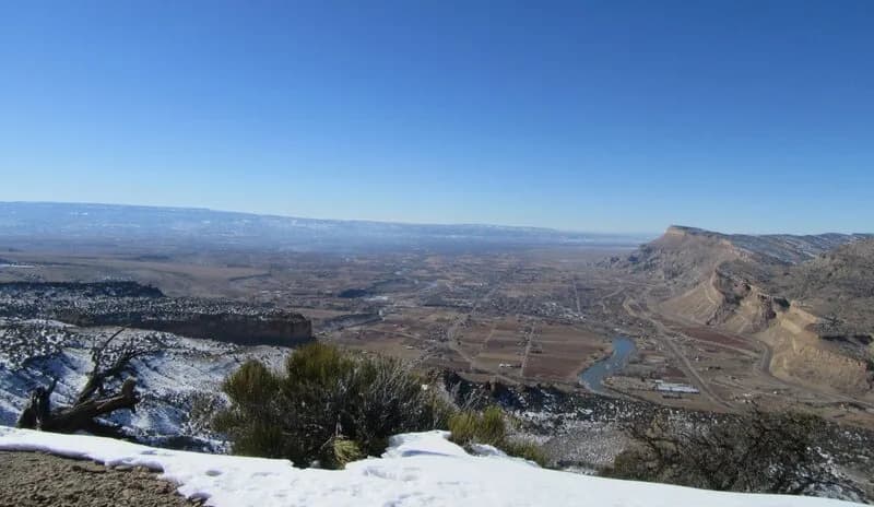
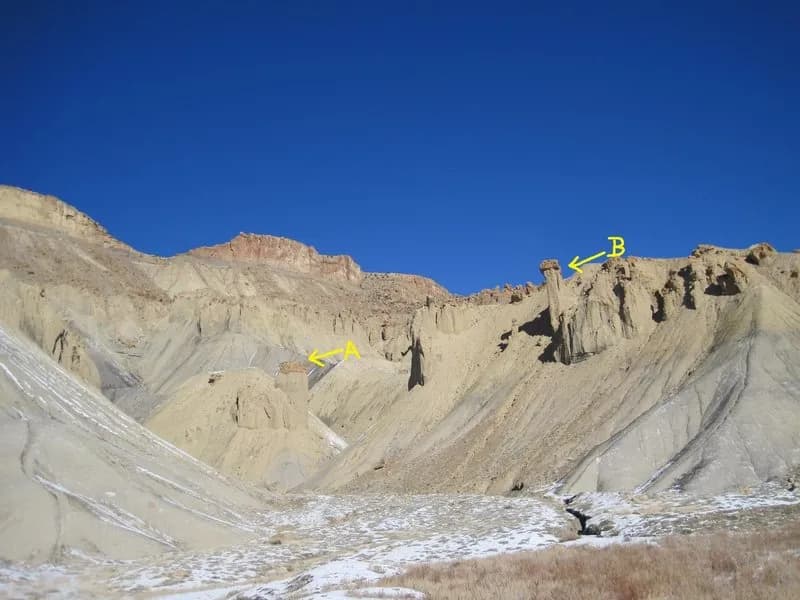
The Palisade Plunge Lower Section is a 3.8-mile hiking trail in Palisade, Colorado, located on the west flank of the Grand Mesa. The route descends from the mesa top into deep canyons and ascends back up to ridge-top views, offering vistas of the Book Cliffs and orchards. The trail is designed primarily for mountain biking, featuring narrow sections, blind corners, and boulder slabs requiring scrambling. Hikers should expect encounters with downhill bikers, particularly from May through November, or hike during the seasonal closure from December 1 to April 30 to avoid the bulk of bike traffic. The trailhead is situated on the west side of Highway 6, with parking, garbage cans, and an outhouse available. The lower canyon floor can be shaded and icy in winter, and the trail includes a sharp right turn at a natural water pour-off approximately one-quarter mile from the start. The route connects to the Palisade Rim Trail and ends near the Colorado River. Elevation reaches 6,461 feet, and the hike is classified as difficult due to the terrain and potential for steep switchbacks.
Trail profile
Gain
905 ft
Avg grade
5%
Steepest
13%
High point
6,503 ft
Good to know
Parking at the trailhead
Waypoints
Latest trail reportgood
Trail is in good condition. No significant obstacles or hazards reported.
Reported Mar 2, 2025Verified
What people say
Reviews
No reviews yet
Been here? Help the next person out.
Within 30 miles