Rock Climbing · Glenwood Springs, CO
Peapod
Before you go
Live · nearest station Glenwood Springs, 2 miGood window today. Daylight to 6:24 pm.
Thunderstorms
Feels like 60°
Storm chance
22% afternoon
Wind
5 mph W
UV index
0.2 low
Sun window
7:23 am to 6:24 pm
Roaring Fork at Glenwood Springs is running 501 cfs, water 54°.
Distance
—
Elevation gain
112ft
High point
6,835ft
Season
Jan - Dec
About
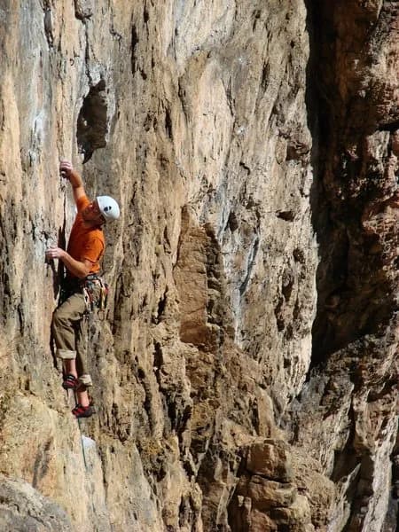
Peapod is a trad climbing route located in Glenwood Springs, Colorado, on the Western Slope. The route is situated on the Upper Tier, specifically as the right-hand crack on the wall directly above the Railroad Tracks Cracks. It is an 80-foot (24-meter) climb that ascends a right-facing corner. The route begins by climbing up and to the right on a slab below the main wall, starting just right of the anchors atop the original first pitch of the route Sucking Wind. Climbers should note that if belaying from the anchors on Railroad Tracks Cracks, they may need to back clean gear or use long slings on the slab. The technical sequence involves moving right after the slab to reach the finger-sized splitter of Victory Bowl. From there, climbers move right, placing a good hand-sized piece before pulling around a flake into the right-facing corner. The crux is identified as pulling the first roof in the corner, described as an awkward, difficult move protected in part by a fixed stopper. Above the crux, the climbing continues with thin climbing in the corner to a second, more easily navigated roof. Easier climbing follows, leading to a step left to a ledge with a two-bolt anchor shared with Victory Bowl. Protection requires gear to 2 inches, with some extra finger-sized pieces and long runners. The GPS coordinates are 39.57413, -107.21627. The area offers parking and is pet-friendly. The elevation is 6,723 feet. While general descriptions label the area as 'difficult,' specific route data confirms the technical nature of the slab and corner climbing.
Trail profile
Gain
112 ft
Avg grade
—
Steepest
—
High point
6,835 ft
Good to know
Parking at the trailhead
Dogs allowed on leash
Waypoints
Latest trail reportgood
Spring climbing conditions. Route may be wet after rainfall. Check weather forecast before climbing.
Reported Mar 3, 2025Verified
What people say
Reviews
No reviews yet
Been here? Help the next person out.
Within 30 miles