Fall Hiking · Buena Vista, CO
Pine Creek Trailhead
Before you go
Live · nearest station Aspen, 34 miGood window today.
Thunderstorms
Feels like 53°
Trailhead temp
50° est. at 8,835 ft
Storm chance
45% tonight
Wind
5 mph SSW
Distance
—
Elevation gain
—
High point
8,835ft
Season
Sep - Novin season
About
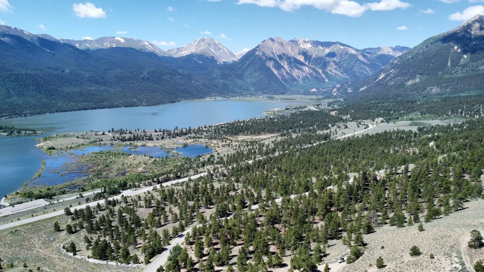
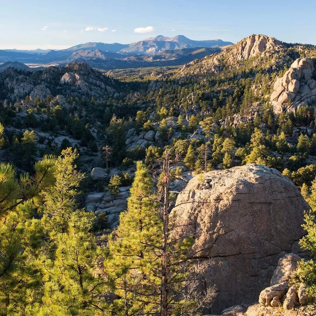
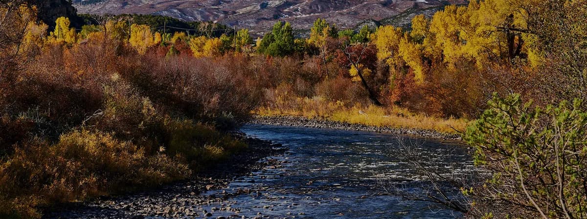
The Pine Creek Trailhead in Buena Vista offers a moderate to challenging hiking route accessible from September through November. Located off Highway 24 and County Road 388, the trail begins on private property where a fee box or liability sign may be present. The route follows Pine Creek northward, covering approximately 11.5 miles to Silver King Lake at an elevation of roughly 12,500 feet. The trail is generally considered challenging due to distance and terrain, with an average completion time of 10 hours for the full out-and-back journey. Hikers should expect uneven ground and potential mud in the drainage sections, particularly on the west side of Pine Creek. The trail enters the Collegiate Peaks Wilderness area about three miles from the start and intersects with Missouri Gulch Trail near eight miles. Parking is available at the trailhead, and pets are permitted, though they must be leashed. Restrooms are noted at the trailhead. The area supports backpacking and camping, with campsites available north of Little John's Cabin. Fall conditions typically provide clear weather suitable for hiking, with foliage changes occurring along the wooded sections of the creek.
Trail profile
Gain
—
Avg grade
—
Steepest
—
High point
8,835 ft
Good to know
Parking at the trailhead
Restrooms available
Dogs allowed on leash
Waypoints
No waypoints mapped for this trail yet.
What people say
Reviews
No reviews yet
Been here? Help the next person out.
Within 30 miles