Hiking · Durango, CO
Powerline Trail
Before you go
Live · nearest station Durango, 0 miGood window today. Daylight to 6:28 pm.
Thunderstorms
Feels like 60°
Storm chance
37% tonight
Wind
0 mph
UV index
0 low
Sun window
7:23 am to 6:28 pm
Animas River at Durango is running 1,190 cfs and falling, water 49°.
Distance
2.5mi round trip
Elevation gain
341ft
High point
7,128ft
Season
Jan - Dec
About
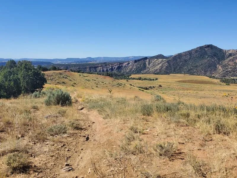
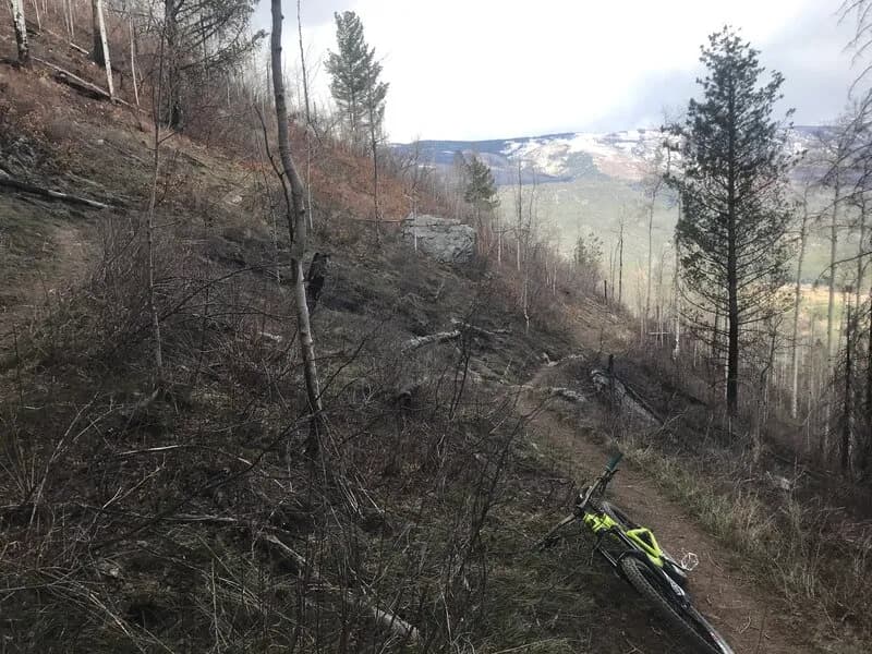
The Powerline Trail is a 2.5-mile moderate hike in Durango, Colorado, situated within the Horse Gulch Trail System and Fort Lewis College trail network. The route runs parallel to power lines along the western border of the property, offering views of the surrounding landscape. Elevation ranges from approximately 6,708 to 7,170 feet, with a total gain of about 355 to 462 feet. The trail typically takes one hour to complete and is accessible year-round. Access points include Horse Gulch Road and the Chapman Hill Ice Rink parking lot off Florida Road. The access trail from Chapman Hill climbs somewhat steeply up switchbacks to join the main route. Hikers can also reach the trail from Goeglein Gulch Road or via connectors like Skyridge and Ball Lane. The surface is primarily two-track road for most of the distance, with a short dirt section near the end. The trail allows hiking, biking, and dogs (leashed). Parking is available at both the Horse Gulch Road trailhead and the Chapman Hill parking lot. The route connects to other trails such as the Skyridge Trail, Rim Trail, and Raider's Ridge Lookout.
Trail profile
Gain
341 ft
Avg grade
3%
Steepest
3%
High point
7,128 ft
Good to know
Parking at the trailhead
Waypoints
Latest trail reportgood
Trail is in good condition. No significant obstacles or hazards reported.
Reported Mar 2, 2025Verified
What people say
Reviews
No reviews yet
Been here? Help the next person out.
Within 30 miles