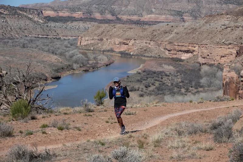
Hiking · Fruita, CO
Rabbit Valley 3
Before you go
Live · nearest station Grand Junction, 12 miGood window today.
Mostly Cloudy
Feels like 62°
Storm chance
2% tonight
Wind
0 mph
Distance
3mi round trip
Elevation gain
349ft
High point
4,949ft
Season
Jan - Dec
About
Rabbit Valley 3 is a difficult, point-to-point hiking trail in Fruita, Colorado, situated within the McInnis Canyons National Conservation Area. The 3-mile route connects to Rabbit Valley 4 and traverses a pinyon-juniper desert landscape characterized by red sandstone formations, rimrock outcrops, and overhangs. Hikers ascend via Rabbit Valley 4 to a bench below the mesa top, then follow a relatively flat section through several gulleys before reaching the rim. The trail offers views of the Colorado River and peaks. A rugged descent with large rock steps leads back to the valley floor. The trail is motor-legal and allows multi-use traffic, including ATVs and motorcycles. Parking is available at the trailhead. The route is accessible year-round, though hikers should verify current conditions due to potential fire evacuation orders in the Critical Gold Mountain Fire zone. The total elevation gain and loss result in a net elevation of 4,949 feet at the start. Typical completion time is approximately two hours.
Trail profile
Gain
349 ft
Avg grade
2%
Steepest
3%
High point
4,949 ft
Good to know
Parking at the trailhead
Waypoints
Latest trail reportgood
Trail is in good condition. No significant obstacles or hazards reported.
Reported Mar 2, 2025Verified
What people say
Reviews
No reviews yet
Been here? Help the next person out.
Within 30 miles