Hiking · Fruita, CO
Rabbit's Ear
Before you go
Live · nearest station Grand Junction, 12 miGood window today.
Mostly Cloudy
Feels like 62°
Storm chance
2% tonight
Wind
0 mph
Distance
6.1mi round trip
Elevation gain
866ft
High point
5,371ft
Season
Jan - Dec
About
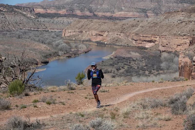
Rabbit's Ear is a moderate 6.1-mile hiking loop located in Rabbit Valley near Fruita, Colorado. The trail sits at an elevation of approximately 5,726 feet and typically takes about three hours to complete. Access begins at the Rabbit Valley OHV parking area off Interstate 70, with a gravel road leading to the specific trailhead. The route starts by passing through a tight sandstone slot before ascending along the southern edge of the mesa. Hikers reach the mesa top for views of the Colorado River, Mee Canyon, and the La Sal Mountains in Utah. The trail is open year-round but remains exposed to heat, requiring ample water supplies especially during summer months. Parking is available at the trailhead, and the route allows for hiking only.
Trail profile
Gain
866 ft
Avg grade
3%
Steepest
7%
High point
5,371 ft
Good to know
Parking at the trailhead
Waypoints
Latest trail reportgood
Trail is in good condition. No significant obstacles or hazards reported.
Reported Mar 2, 2025Verified
What people say
Reviews
No reviews yet
Been here? Help the next person out.
Within 30 miles