Hiking · Fruita, CO
Rattlesnake Arches Direct
Before you go
Live · nearest station Grand Junction, 12 miGood window today.
Mostly Cloudy
Feels like 66°
Storm chance
5% tonight
Wind
5 mph E
Distance
13.4mi round trip
Elevation gain
602ft
High point
5,110ft
Season
Jan - Dec
About
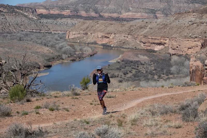
Rattlesnake Arches Direct is a strenuous, 13.4-mile hiking loop near Fruita, Colorado, located within the McInnis Canyons National Conservation Area. The trailhead sits at approximately 4,518 feet, though some sources cite the start elevation at 5,713 feet. The route is rated difficult and typically requires about nine hours to complete. The primary objective is viewing the canyon’s natural sandstone arches; sources describe the area as having the second-highest concentration of rock arches in the world, with estimates ranging from 35 to 6 visible arches depending on the specific section accessed. Access is possible via the Pollock Bench Trail or the Black Ridge Access Road, which requires a high-clearance four-wheel-drive vehicle. The trailhead is accessible year-round, though summer heat is intense and winter temperatures can be chilly. Parking is available at the trailhead. The terrain is arid desert highland, featuring pinon pines, junipers, and sagebrush.
Trail profile
Gain
602 ft
Avg grade
1%
Steepest
3%
High point
5,110 ft
Good to know
Parking at the trailhead
Waypoints
Latest trail reportgood
Trail is in good condition. No significant obstacles or hazards reported.
Reported Mar 2, 2025Verified
What people say
Reviews
No reviews yet
Been here? Help the next person out.
Within 30 miles