Fall Hiking · Grand Junction, CO
Rattlesnake Arches Trailhead
Before you go
Live · nearest station Grand Junction, 16 miGood window today. Daylight to 7:10 pm.
Mostly Cloudy
Feels like 76°
Trailhead temp
72° est. at 5,859 ft
Storm chance
5% tonight
Wind
5 mph WSW
UV index
0 low
Sun window
7:04 am to 7:10 pm
Distance
—
Elevation gain
—
High point
5,859ft
Season
Sep - Novin season
About
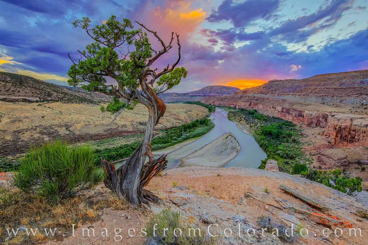
The Rattlesnake Arches Trailhead is a moderate hiking destination located west of Grand Junction, Colorado. The site features some of the highest concentrations of natural sandstone arches in the United States, second only to Utah’s Arches National Park. The trailhead sits within the McInnis Canyons National Conservation Area and Black Ridge Canyons Wilderness. The primary route is an out-and-back trek that typically takes about two hours to complete. Hikers follow a marked path through rugged desert terrain, passing several distinct arches including Cedar Tree Arch. The trail is generally well-maintained and offers solitude due to its remote location. Parking is available at the trailhead, and pets are permitted on the trail. The area is accessible year-round for hiking, with September through November offering favorable conditions. Access requires a vehicle capable of handling rough dirt roads; high-clearance vehicles are recommended, and four-wheel drive is advised for the final two miles. Motorized travel is prohibited between mid-February and mid-April. The trailhead elevation is 5,859 feet.
Trail profile
Gain
—
Avg grade
—
Steepest
—
High point
5,859 ft
Good to know
Parking at the trailhead
Restrooms available
Dogs allowed on leash
Waypoints
No waypoints mapped for this trail yet.
What people say
Reviews
No reviews yet
Been here? Help the next person out.
Within 30 miles