Hiking · Fruita, CO
Rattlesnake Canyon Arches Trail - R1
Before you go
Live · nearest station Grand Junction, 9 miGood window today. Daylight to 6:30 pm.
Chance of Rain
Feels like 63°
Storm chance
6% afternoon
Wind
0 mph
UV index
0.4 low
Sun window
7:28 am to 6:30 pm
Distance
6.1mi round trip
Elevation gain
679ft
High point
5,167ft
Season
Jan - Dec
About
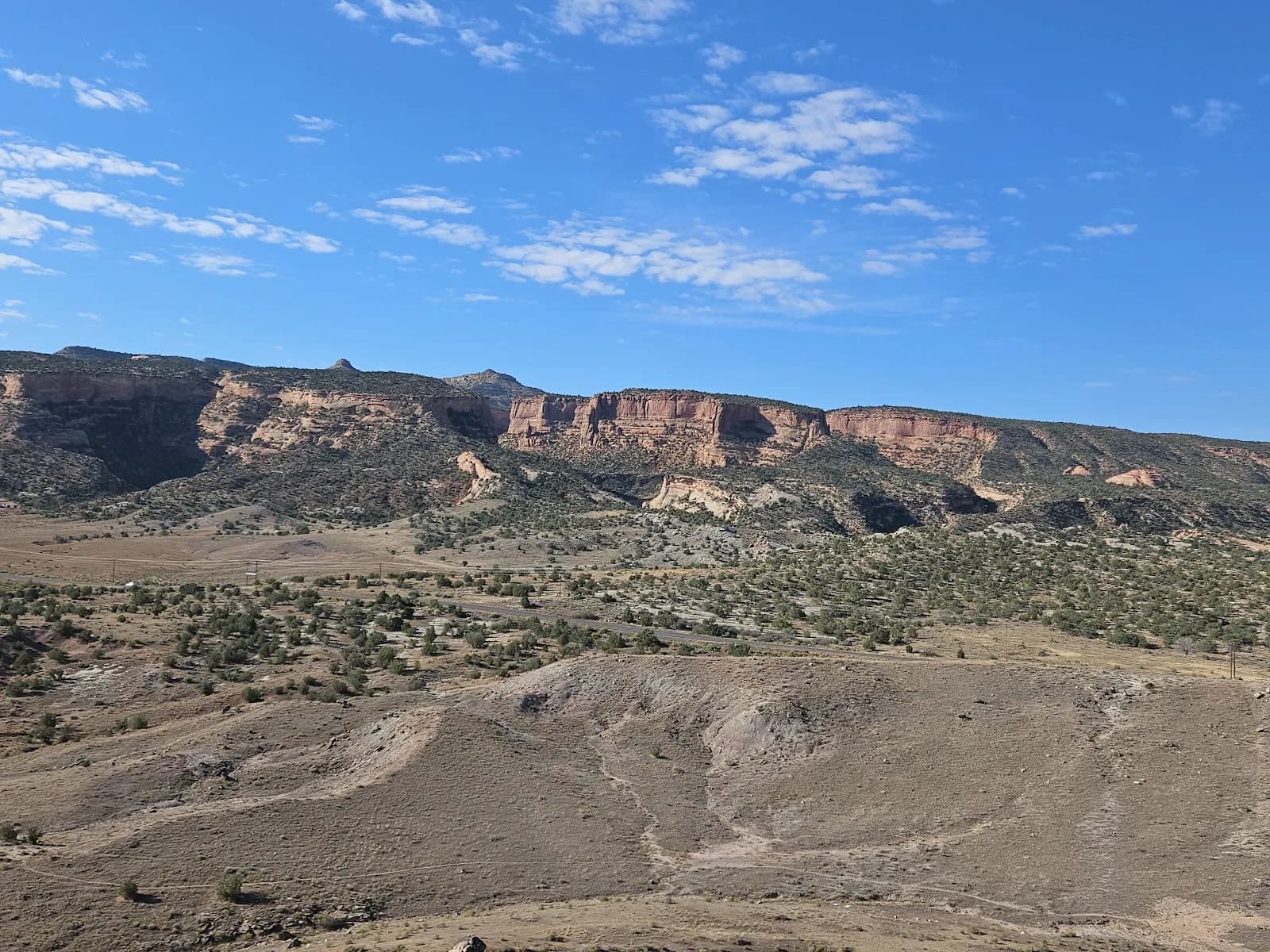
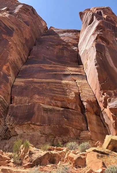
The Rattlesnake Canyon Arches Trail is a 6.1-mile out-and-back hiking route starting from the Pollock Bench Trailhead near Fruita, Colorado. The trail is classified as difficult and typically takes about four hours to complete. Hikers begin by following the Pollock Bench Trail (P1) out of a parking lot equipped with vault toilets. The route climbs approximately 1.5 miles before reaching a junction where hikers stay right to join the main Rattlesnake Canyon Arches Trail (R1). The path is well-marked with signposts and cairns, winding through washes and over sandstone slickrock. After a loose climb, the trail levels out for a long traverse across flat ground. The destination features multiple natural arches within the McInnis Canyons National Conservation Area, including Rattlesnake Arch and Cedar Arch. The area contains high-desert pinyon-juniper ecology and is considered prime mountain lion terrain. Overnight camping is permitted in the broader area but is prohibited within 1.5 miles of the arches, along the access road, and in the trailhead parking area. Firepan use may be restricted during high fire danger periods.
Trail profile
Gain
679 ft
Avg grade
2%
Steepest
6%
High point
5,167 ft
Good to know
Parking at the trailhead
Waypoints
Latest trail reportgood
Trail is in good condition. No significant obstacles or hazards reported.
Reported Mar 2, 2025Verified
What people say
Reviews
No reviews yet
Been here? Help the next person out.
Within 30 miles