Mountain Biking · Grand Junction, CO
Raven Ridge
Before you go
Live · nearest station Grand Junction, 0 miGood window today.
Mostly Cloudy
Feels like 58°
Storm chance
2% overnight
Wind
0 mph
Gunnison River near Grand Junction is running 1,240 cfs and rising, water 62°.
Distance
0.7mi round trip
Elevation gain
163ft
High point
5,017ft
Season
Apr - Octpeak now
About
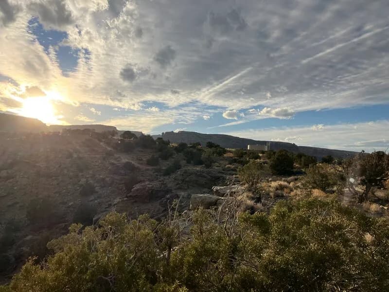
Raven Ridge is a short, technical connector trail in Grand Junction’s Lunch Loops system, located on the Colorado Plateau. Spanning approximately 0.4 to 0.7 miles at an elevation around 5,000 feet, the route serves as a southern extension of Curt’s Lane, linking to High Noon, and intersects with Lemon Squeezer, Pucker Up, Ali Alley, and Coyote Ridge. The trail features hard-pack single-track with flowing sections, high-angle turns, and navigation between boulders and ledges. It is classified as moderate difficulty, though some sources label it black diamond due to tight turns and rock rolls. The trail is managed by the BLM and allows hiking, biking, and dogs, but excludes horses and motorcycles. Parking is available at the trailhead. The typical riding season runs from April through October, with conditions varying based on weather and maintenance. Views include the ridge line of Colorado National Monument and the Grand Mesa.
Trail profile
Gain
163 ft
Avg grade
4%
Steepest
8%
High point
5,017 ft
Good to know
Parking at the trailhead
Dogs allowed on leash
Waypoints
Latest trail reportgood
Trail is in good condition. Traction is good with minimal obstacles.
Reported Mar 2, 2025Verified
What people say
Reviews
No reviews yet
Been here? Help the next person out.
Within 30 miles
Nearby spots